Choosing homestead land is less about finding a perfect “sustainable ranch” and more about matching a parcel to a realistic household plan. A homestead may include a residence, garden, animals, workshop, food storage, renewable energy, or small sales. Each element has its own space, water, access, permit, labor, and budget needs. The land should be evaluated for what can be verified today—not for promised self-sufficiency, health, savings, or financial freedom.
Define the homestead before shopping
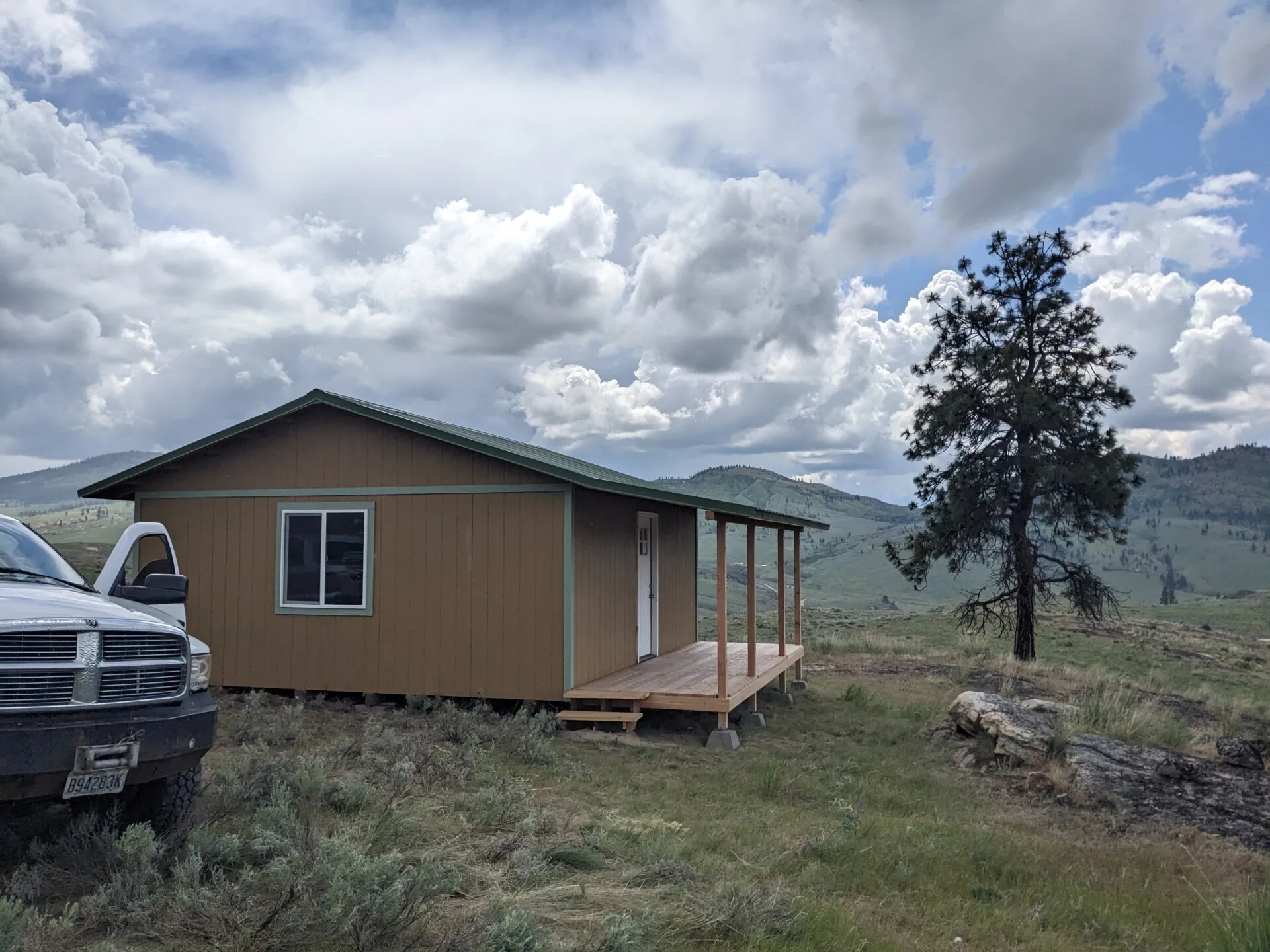
Describe the first three years in practical terms: who will live there, whether a home already exists, crops or animals planned, water demand, wastewater method, power needs, storage, vehicles, outbuildings, and how much daily labor is available. Separate essentials from later projects. A legal residence and dependable water may be phase one; a greenhouse, orchard, livestock, or off-grid system may belong in later phases.
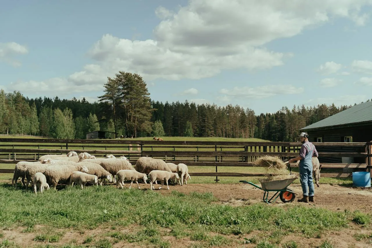
A homestead centered on household use differs from an agricultural operation built to sell products. A ranchette may be primarily a rural residence with limited animals or recreation. An owner-occupied home may have no production goal, while a rental property requires tenant, landlord, insurance, and rental-rule analysis. Do not assume a parcel approved for one of these plans is approved for the others.
Verify title, boundaries, and access first
Before evaluating garden locations or views, confirm what is being conveyed. Qualified title professionals can identify recorded liens, exceptions, easements, and restrictions; a survey professional can address boundaries, encroachments, and the deed’s legal description. Ask whether mineral, water, timber, or other interests are reserved where relevant, without drawing conclusions from a listing or tax map.
Legal access and physical access are separate. A visible road does not prove a recorded right to use it. A recorded easement does not prove that an ordinary vehicle, delivery truck, fire apparatus, or construction equipment can reach the site year-round. Verify road ownership, maintenance responsibility, gates, grades, drainage crossings, seasonal conditions, and any permits needed for a driveway or culvert.
Match soil and climate to the plan
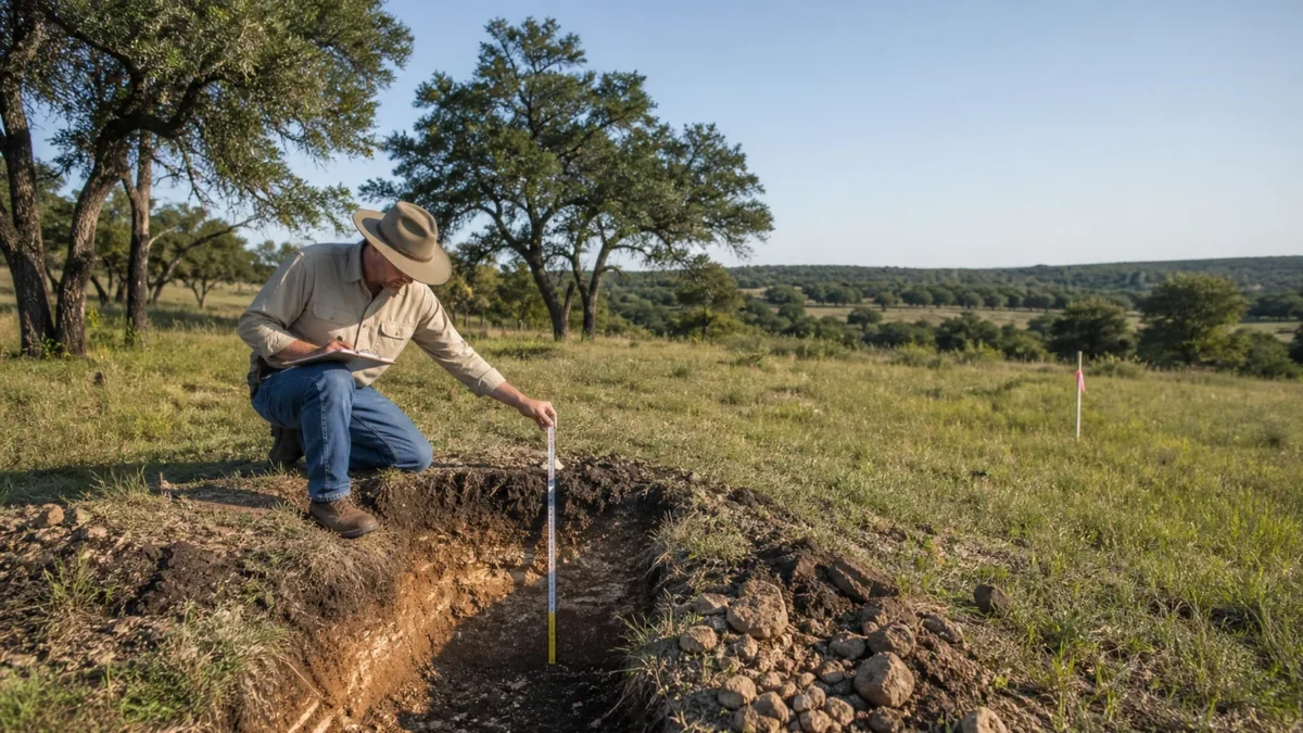
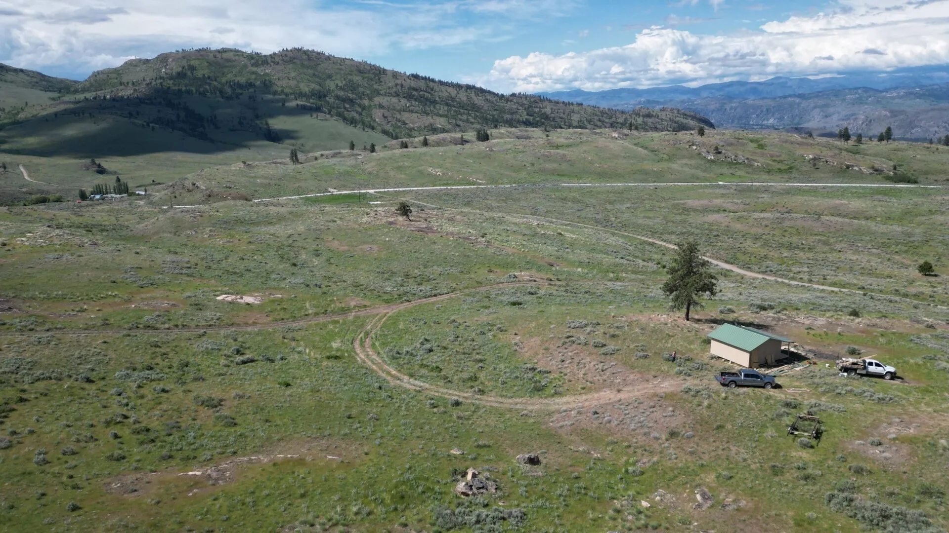
Soil influences foundations, drainage, septic feasibility, roads, crops, pasture, and erosion. USDA NRCS says soil surveys can help identify limitations affecting homesites, septic absorption fields, structures, flooding, water tables, crops, and forage. Begin with NRCS soil-survey guidance, then obtain any field investigation, soil test, geotechnical review, or septic evaluation required for the actual building and growing areas.
Climate planning should use more than a general regional description. Review temperature extremes, wind, wildfire exposure, rainfall timing, hail, frost dates, growing-season length, and drought. The USDA Plant Hardiness Zone Map uses average annual extreme minimum winter temperature to guide perennial plant selection; USDA presents it as a plant-hardiness tool, not a complete crop, water, or building feasibility study.
Prove the water plan
“Water nearby” is not a water supply. Identify whether the plan depends on a public or community connection, private well, hauled water, spring, pond, rain capture, or a combination. Confirm legal availability, connection or drilling requirements, expected capacity, water quality, storage, treatment, freeze protection, backup supply, operating cost, and whether the source can support household, livestock, and irrigation demand at the same time.
Private well owners are responsible for their household water. EPA explains that septic systems and wells can interact: setback, groundwater flow, well depth, soil, construction, and maintenance affect contamination risk. Review EPA’s septic and drinking-water guidance, obtain local setback and testing requirements, and use qualified local professionals. Never infer potability or reliable yield from the presence of a well casing.
Confirm wastewater, utilities, and buildings
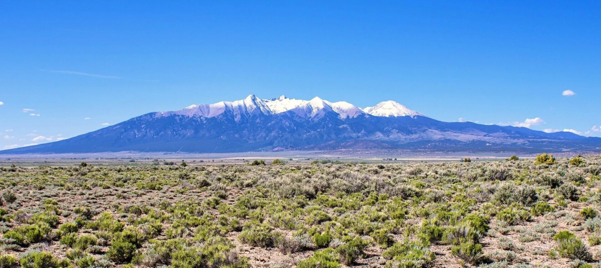
For a septic plan, ask the local permitting authority what site evaluation is required, what system types may be considered, and where reserve areas and setbacks must remain. EPA notes that local programs commonly assess whether soils can provide treatment and set distances from buildings, driveways, property lines, and surface waters. See the EPA septic-system questions, but follow the current local process for the parcel.
Get written quotes or feasibility responses from electricity, gas, and communications providers. Measure extension distances and include poles, trenching, easements, transformers, meters, generators, batteries, and maintenance where applicable. Verify that existing structures were permitted and that proposed homes, manufactured homes, accessory dwellings, barns, greenhouses, animal shelters, solar arrays, and storage buildings satisfy zoning, covenants, building rules, setbacks, and permits.
Investigate hazards and environmental constraints
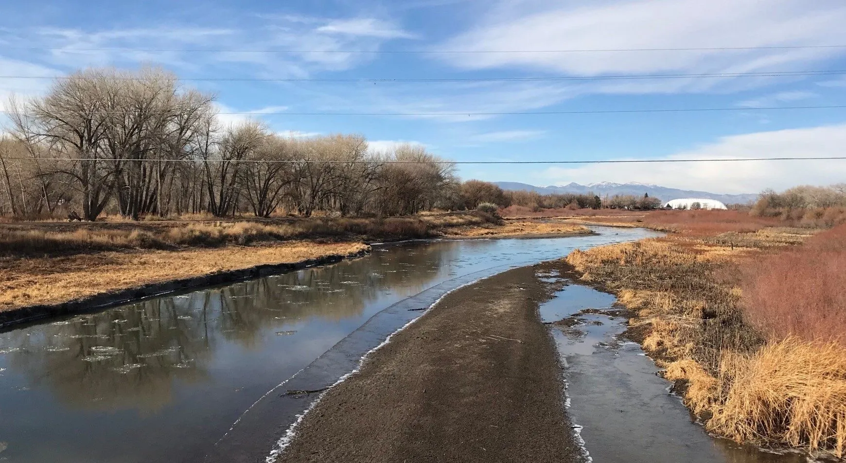
Use the FEMA Flood Map Service Center resources to examine the parcel and proposed improvements. FEMA says there is no “no-risk zone,” so a mapped lower-risk area should not end the drainage review. Ask local officials and appropriate professionals about floodplain administration, wetlands, drainage, erosion, wildfire, protected habitat, contamination, steep slopes, and other environmental constraints relevant to the site. Do not clear, grade, fill, or build before required approvals.
Build an all-in budget and phased plan
Homesteading can be rewarding, but savings, food production, and health outcomes vary with the site, budget, labor, and household. Avoid treating projected savings or side income as certain. If products will be sold, separate the household budget from the farm business budget and investigate food-safety, sales, licensing, insurance, and tax questions with current official sources and qualified advisers.
Budget for purchase, closing, financing, title work, survey, inspections, driveway and drainage, water, wastewater, utilities, site preparation, structures, tools, fencing, animals or seeds, feed and soil inputs, permits, insurance, taxes, maintenance, replacements, professional services, reserves, and contingency. Phase improvements so an expensive optional project does not threaten the residence, water supply, or emergency fund. USDA’s Beginning Farmers and Ranchers portal offers planning and local Service Center connections for people pursuing an agricultural operation; eligibility for any program or assistance must be confirmed directly.
Parcel-specific verification checklist
- Verify title, exceptions, liens, the deed’s legal description, boundaries, encroachments, and an appropriate survey.
- Confirm recorded legal access and practical year-round access, road maintenance, driveway permits, and emergency reach.
- Obtain written zoning and land-use guidance; review subdivision rules and recorded covenants for every intended use.
- Verify water rights or service, quantity, quality testing, storage, treatment, and drought or freeze resilience.
- Confirm parcel-specific wastewater feasibility, reserve area, setbacks, permits, and maintenance obligations.
- Obtain provider responses and cost estimates for power, fuel, communications, and any off-grid backup.
- Investigate flood and environmental constraints, soils, drainage, wildfire, terrain, and required permits.
- Price the complete development and operating plan with reserves and contingency before closing.
When you are ready to compare parcels, browse current land listings and keep the plan parcel-specific.
Want land with no HOA or deed restrictions? See our unrestricted land for sale.