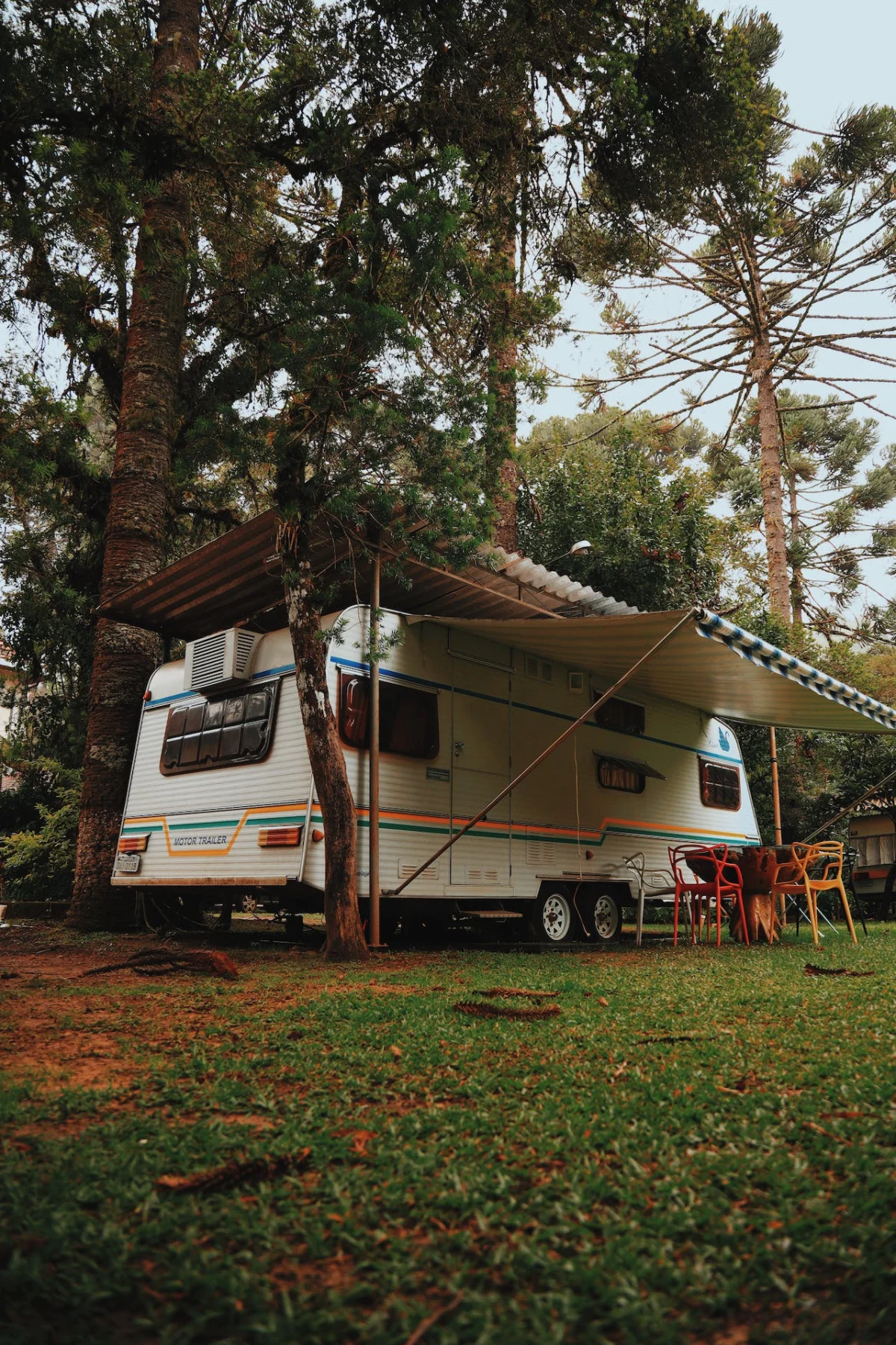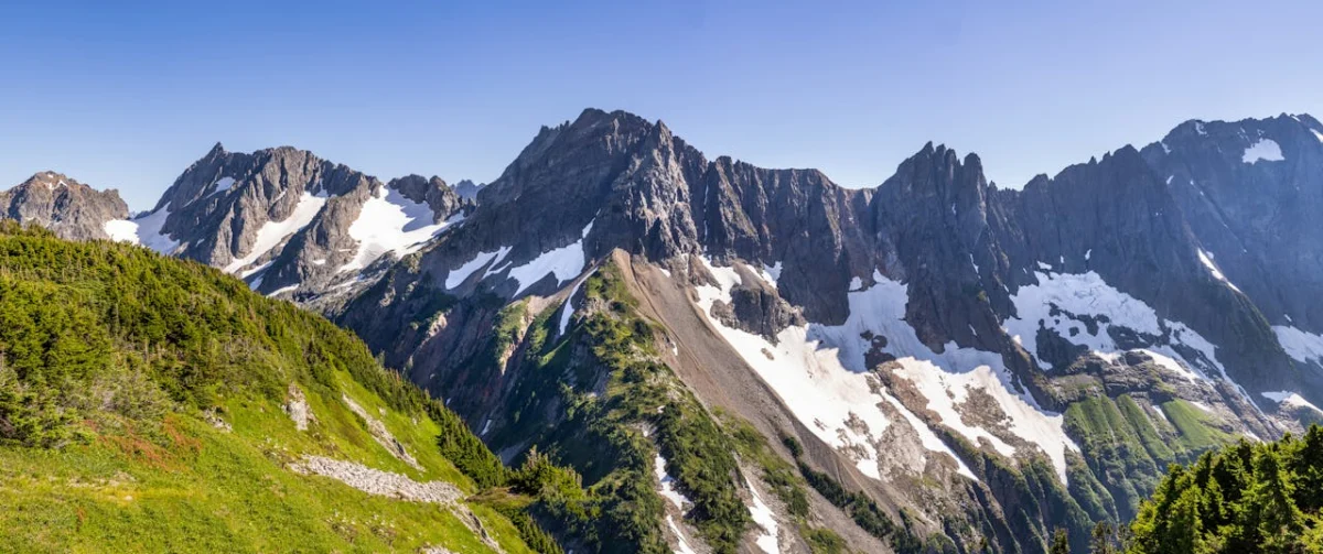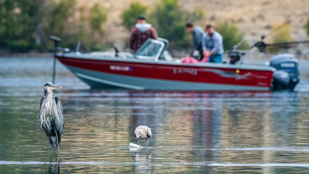
The San Luis Valley gives anglers room to explore, but a beautiful blue shape on a map is not an invitation to fish. Water levels, legal access, seasons, closures, and property rules change. Start every trip with Colorado Parks and Wildlife (CPW), then confirm conditions for the exact water you plan to visit.
Verified waters to research
Sanchez Reservoir State Wildlife Area is an official CPW fishing property in Costilla County. CPW says public access is prohibited except while fishing and that visitors age 16 or older generally need a valid hunting or fishing license or SWA pass. Check the current property page and fishing brochure before traveling.
For Alamosa River searches, CPW’s Alamosa Canyon State Trust Land page identifies a seasonal hunting-and-fishing access property in Conejos County. It does not establish public access along every river segment. Confirm the exact property boundary, open dates, license requirements, and lawful route before fishing.
Use CPW to choose a San Luis Valley fishing destination
The CPW Where to Fish page links to the Colorado Fishing Atlas. The atlas can be searched by place, species, or interest and may show public fishing access, stocked waters, boat ramps, special regulations, stream gauges, and closures. That makes it a better planning source than an old blog list.
Search the atlas around Alamosa, Conejos, and Costilla counties, then open the current CPW property page or managing-agency page for the result. Confirm the waterbody name and county. Use CPW’s current atlas and property pages rather than relying on an unverified destination list.
Rio Grande and Conejos country
The Rio Grande and Conejos River systems are major features of the region, but fishing opportunity is segment-specific. Public access on one reach does not carry through private land on the next. Use the atlas to identify an official access point, read posted signs, and stay within the public corridor. Never assume that owning nearby acreage includes river frontage, an easement to the water, or fishing rights.
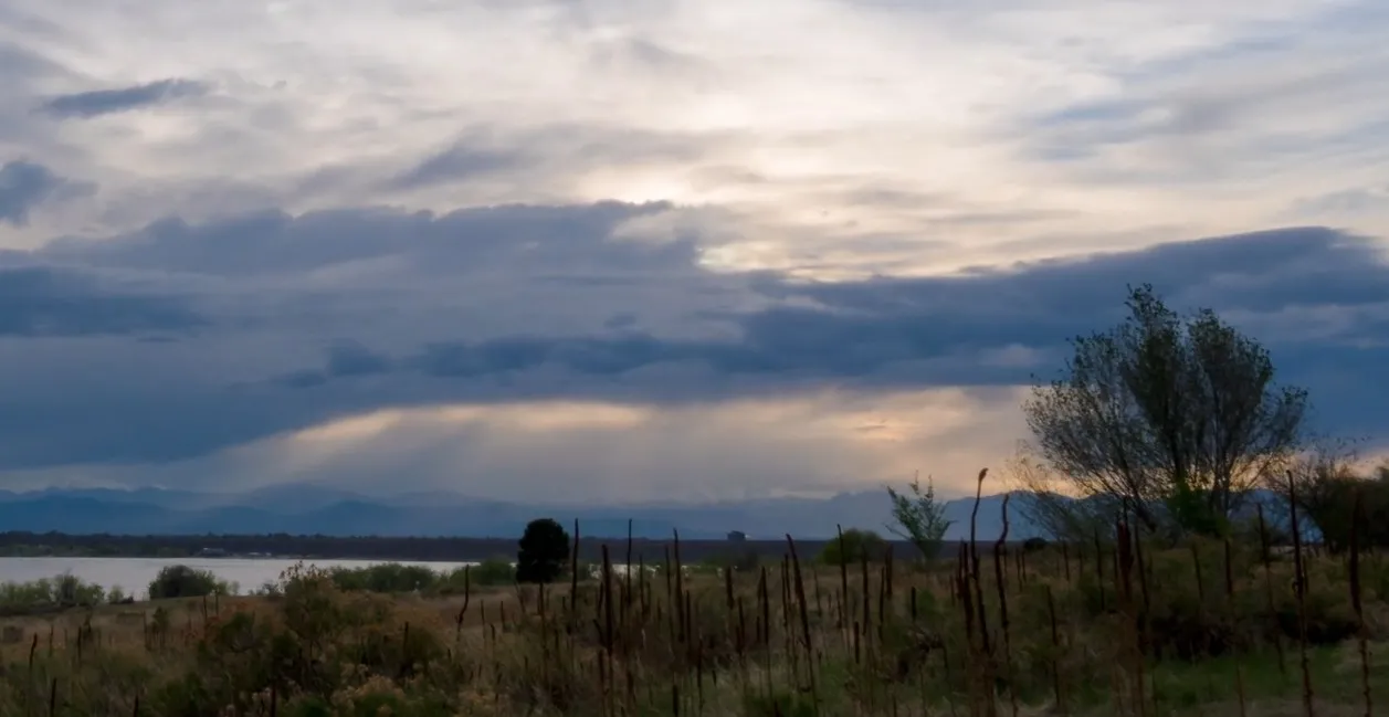
Conditions can also change quickly. CPW notes that low flows, warm water, drought, or other conditions can lead to temporary closures. Check the atlas and the CPW fishing hub shortly before departure, not only when you first plan the trip.
Reservoirs, lakes, and wildlife areas
Reservoir and wildlife-area access is not interchangeable with ordinary public land. A named site may require a valid license or habitat stamp, a state wildlife area pass, or compliance with property-specific hours and restrictions. Some roads, ramps, campgrounds, or shorelines may be seasonal or unavailable. Use CPW’s State Wildlife Area finder to open the official page for any CPW property before you go.
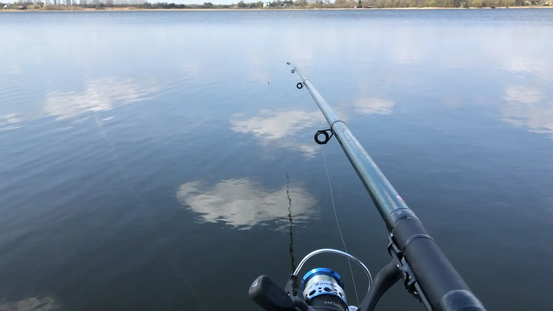
Do not rely on a species list copied from an old article. Fish populations and stocking practices vary by water and season. The atlas and CPW fishery information are the right places to check whether a water is managed for a target species and whether special harvest, tackle, or method rules apply.
Licenses and water-specific rules
Read the current Colorado fishing brochure before fishing. Check license requirements, season dates, legal methods, possession limits, and statewide rules. Then look for regulations tied to the exact lake, reservoir, stream segment, or property. The online brochure is the current version CPW directs anglers to use.
A cautious trip plan includes:
- the exact CPW atlas pin and managing property page;
- a current fishing license and any other required pass or stamp;
- water-specific regulations and posted closures;
- legal parking, road, shoreline, and boat-launch access;
- weather, wildfire, streamflow, and water-temperature checks;
- permission for any route crossing private land; and
- a backup location if the first site is closed or unsafe.
Prepare for high-elevation conditions and responsible fishing
San Luis Valley weather can shift quickly, and many destinations are exposed to sun and wind. Carry water, layers, sun protection, and a reliable way to navigate. Let someone know where you are going when access is remote. If wading, evaluate current depth, temperature, and flow rather than assuming a familiar crossing is safe. Boaters should confirm launch status and all current equipment requirements in the CPW brochure before towing to the site.
Handle fish according to the current water-specific rules. If release is required or chosen, minimize handling time and follow CPW guidance. Pack out line, hooks, bait containers, and other trash. Avoid creating informal routes across fragile shorelines or private land. These small choices protect both the fishery and continued access.
Nearby land does not guarantee fishing access
A parcel near a river or reservoir does not automatically include water frontage, deeded access, a right to cross neighboring land, a boat launch, or the right to divert water. Verify the deed, title commitment, recorded easements, survey, and ownership map. If fishing access matters to the purchase, make that question part of due diligence rather than an assumption based on distance.
See our Colorado owner financed land in the San Luis Valley.
Official resources
- Colorado Parks and Wildlife fishing hub
- CPW Where to Fish and Fishing Atlas
- Current Colorado fishing brochure
- CPW State Wildlife Area finder
- CPW: Sanchez Reservoir SWA
- CPW: Alamosa Canyon State Trust Land
Fishing is one of the San Luis Valley’s great outdoor possibilities. Let the official map lead, let the current rules decide, and give yourself a second plan when conditions change.