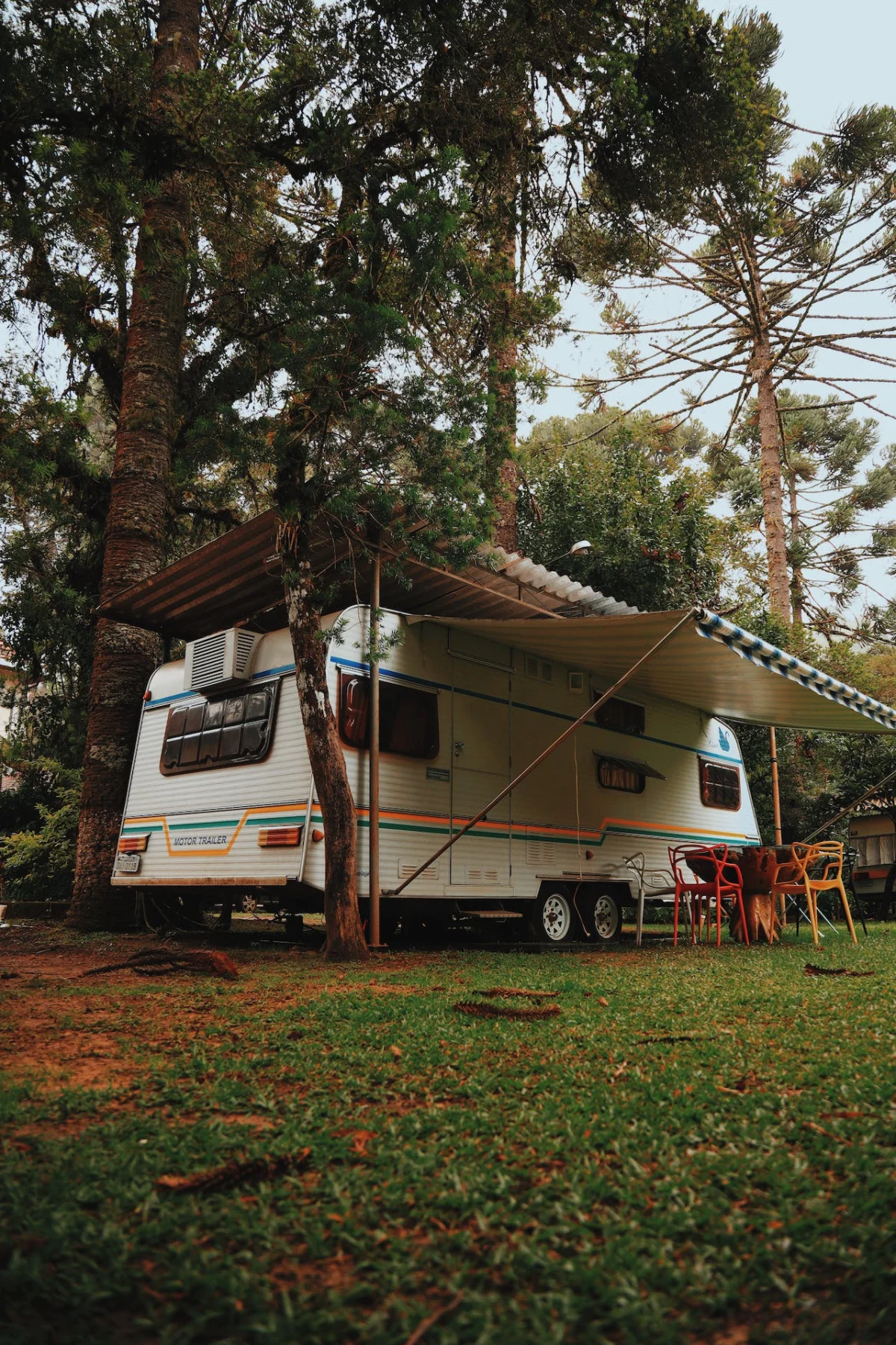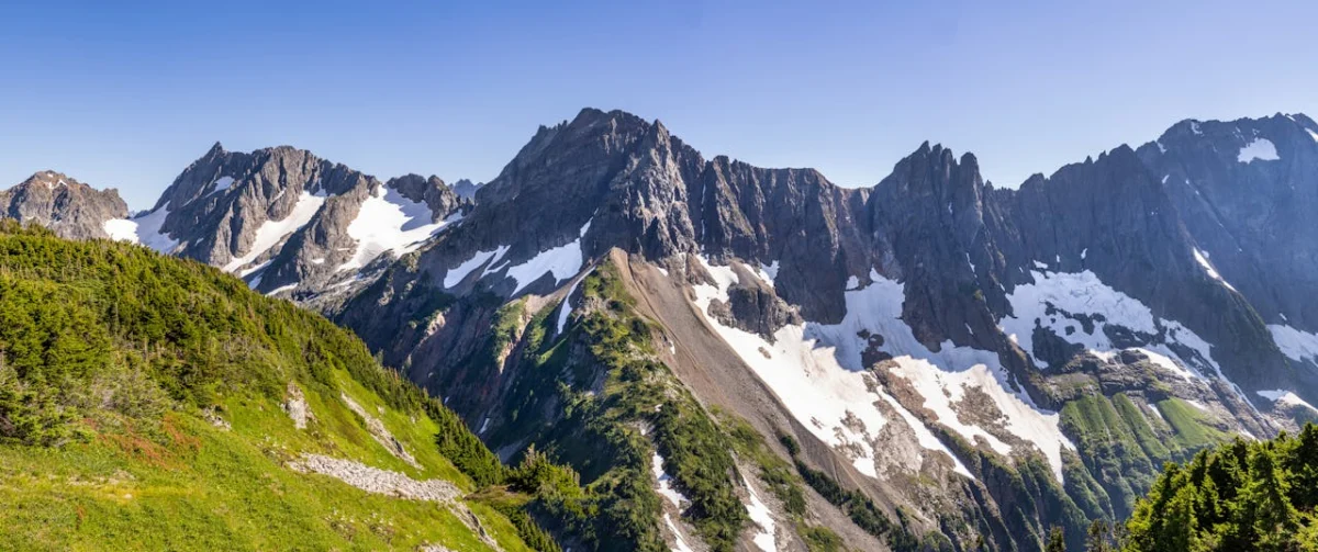
Before buying San Luis Valley land, verify the intended use, water, legal access, zoning and restrictions, wastewater, utilities, hazards, survey and boundaries, and the all-in development budget for the specific parcel.
The San Luis Valley is a broad, high-elevation basin in southern Colorado with agricultural communities, public lands, mountain views, and access to destinations such as Great Sand Dunes National Park and Preserve. Those regional qualities can make the valley worth exploring, but they do not establish that any listed parcel is buildable, irrigable, accessible, or suited to year-round living.
This guide focuses on the decisions that matter before buying San Luis Valley land. Conditions and rules differ among Alamosa, Conejos, Costilla, Rio Grande, Saguache, and Mineral counties, and sometimes among municipalities, subdivisions, water districts, and associations.
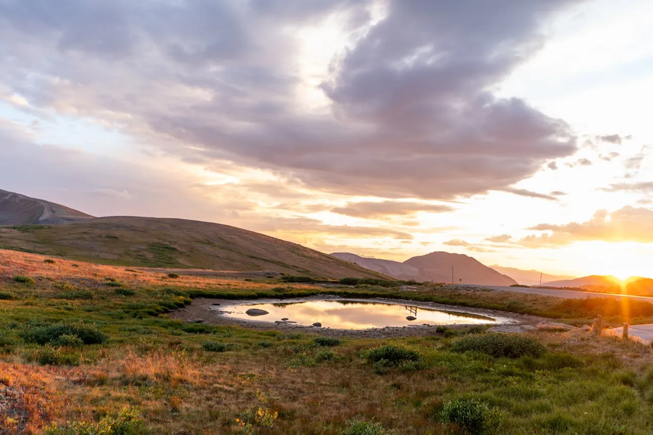
Choose the use before choosing the acreage
Start with a concrete plan: occasional recreation, a residence, grazing, irrigated agriculture, a small farm, or a long-term hold. Then ask the planning department with jurisdiction over the parcel whether that use is allowed and what approvals apply. Confirm zoning, minimum lot size, setbacks, camping or RV limits, manufactured-home standards, accessory uses, animals, subdivision rules, and building-code requirements in writing.
Do not rely on a neighboring improvement or a listing label such as “residential,” “ranch,” or “farm.” The neighboring parcel may have different rights, permits, lot history, water, access, or grandfathered status.
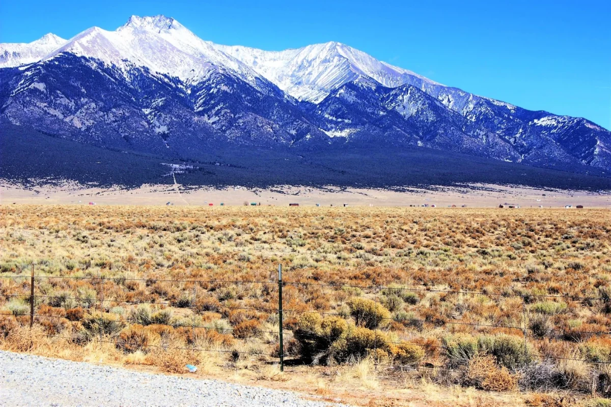
19.54 Acres Mountain View Land near Alamosa CO (A13)
$25,900 Cash Price
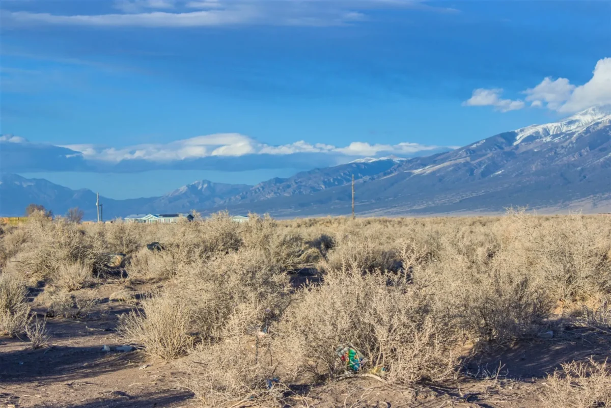
1.38 Acre Lot in Deer Valley Meadows, Alamosa CO
$7,900 Cash Price
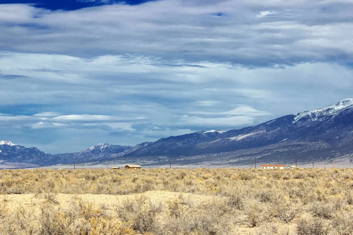
5.26 Acres Quadruple Corner Lot in Deer Valley Meadows, Alamosa CO
$29,900 Cash Price
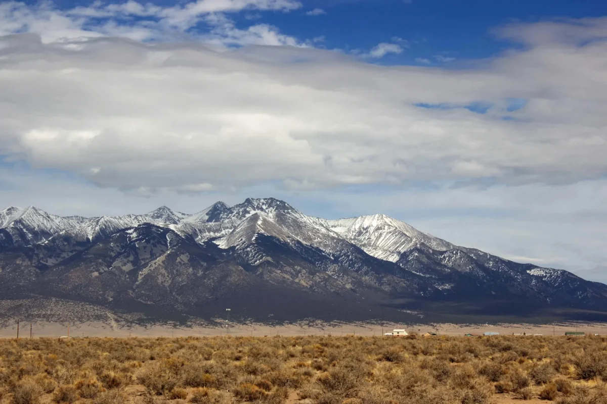
4.13 Acres Quadruple Lot in Deer Valley Meadows, Alamosa CO
$23,900 Cash Price
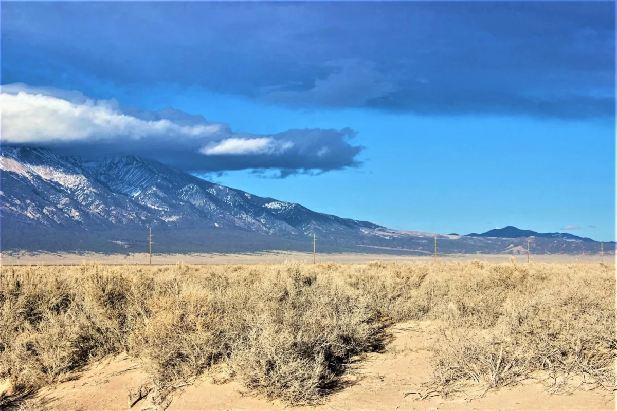
2.14 Acres Double Lot in Deer Valley Meadows, Alamosa CO
$11,900 Cash Price
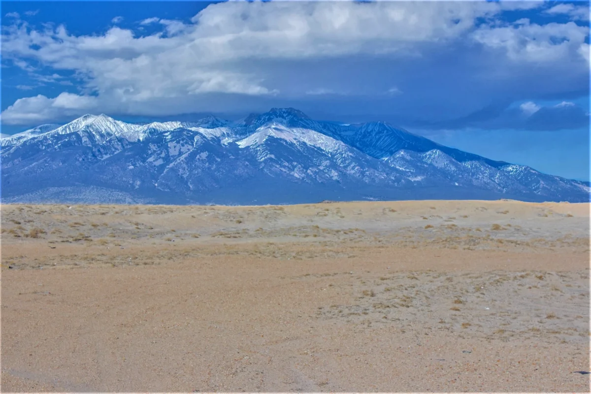
2.06 Acres Near Alamosa CO – Blanca Peak Views, Power Nearby, No HOA
$11,900 Cash Price
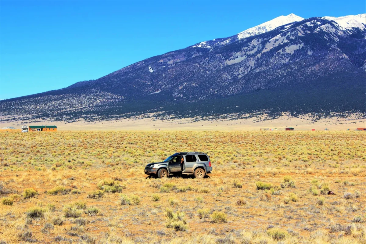
38.62 Acres Mountain View Land near Alamosa CO (B17/B18)
$49,900 Cash Price
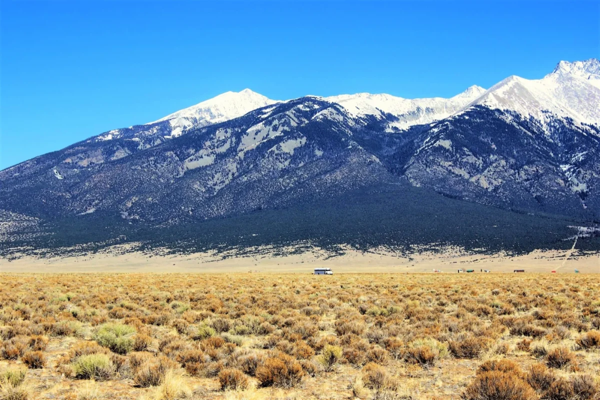
25.13 Acres Mountain View RV/Mobile Lot Near Alamosa CO (B02)
$33,900 Cash Price
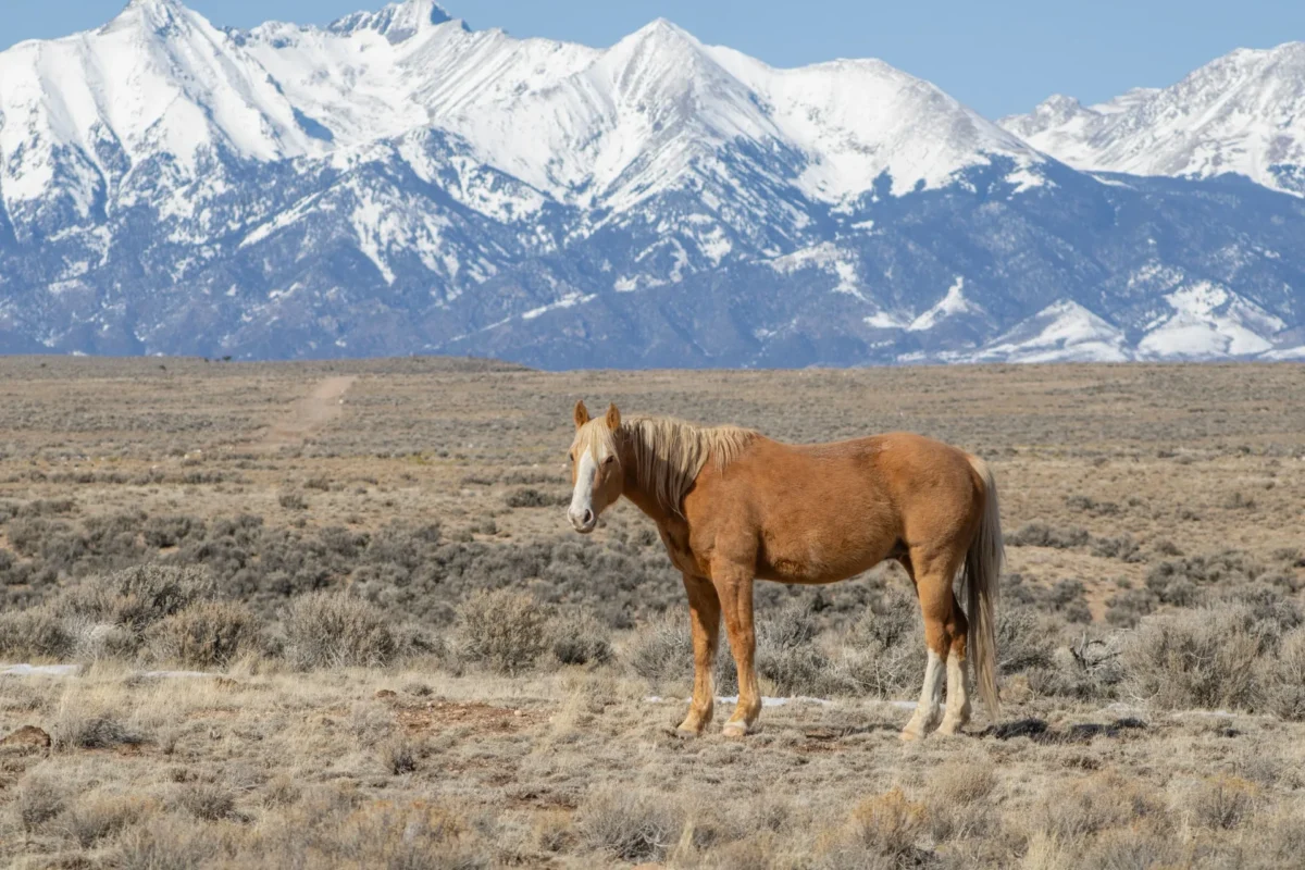
5.10 Acres Mountain View Land with Road in Southern CO
$7,900 Cash Price
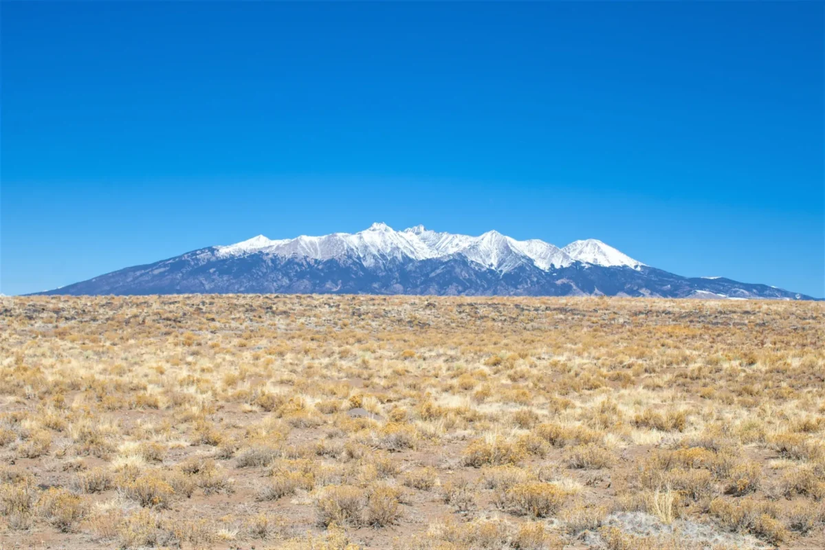
9.65 Acres Mountain View Land with Road in Southern CO
$14,900 Cash Price
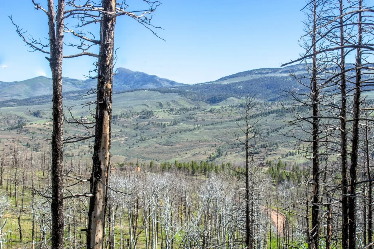
2.22 Acres Mountain View Land in Forbes Park, Costilla, CO
$9,900 Cash Price
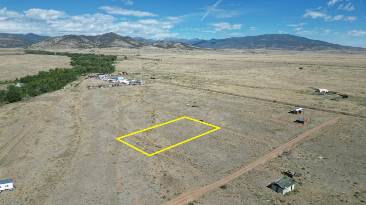
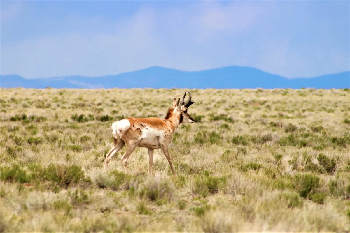
0.19 Acre Mountain View Lot near the Alamosa River in La Jara, CO
$9,900 Cash Price
Water is a legal and physical investigation
The valley’s water system is not captured by the phrase “water nearby.” The Colorado Division of Water Resources’ Division 3 office administers surface water and groundwater in the upper Rio Grande Basin. DWR states that special groundwater-withdrawal rules are in effect and provides well, streamflow, water-court, and annual-replacement-plan resources.
For an existing well, obtain the permit and confirm allowable uses, status, location, construction record, pump information, yield, water quality, and whether any restrictions or measurement obligations apply. The DWR well-permitting page explains that permit files identify allowable uses and may include construction and pump records. For a proposed well, ask DWR whether a permit is available for the specific parcel and intended use before assuming approval.
If a seller represents surface rights, ditch shares, or irrigation water, obtain the decree, priority, historical-use documents, shares, assessments, easements, delivery records, and transfer terms. CSU Extension cautions that buyers should never assume water comes with Colorado property. Legal entitlement, delivery reliability, physical supply, and potable quality are different questions.
Check access and roads in both documents and the field
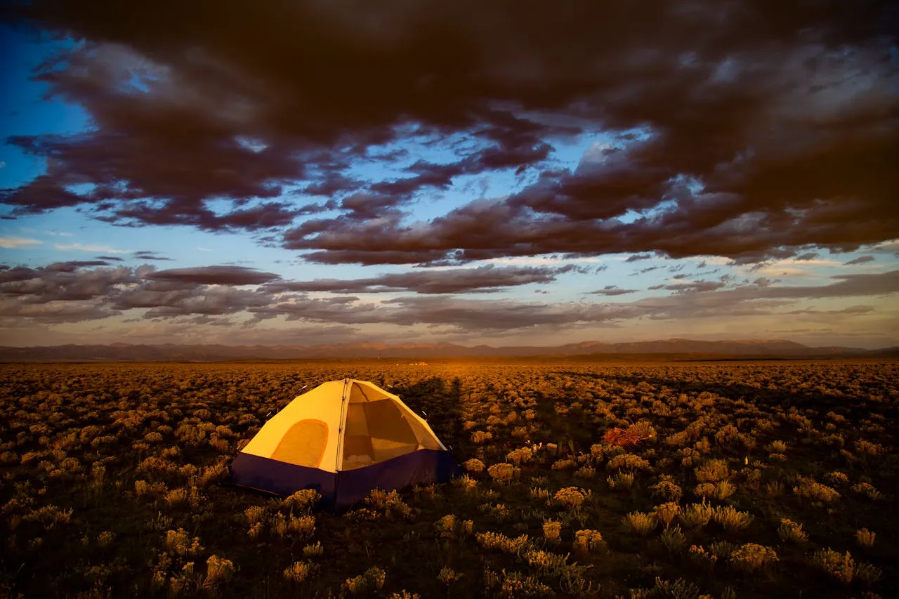
Confirm a recorded legal route from a public road to the parcel. A tire track, county GIS line, or seller statement does not substitute for a deeded easement. Have the title commitment and recorded documents reviewed, and compare them with a survey or reliable field evidence.
Inspect road grade, surface, drainage, snow exposure, gates, seasonal closures, and maintenance responsibility. Ask whether the road is public, county-maintained, privately maintained, or effectively unmaintained. Price grading, culverts, driveway permits, snow removal, and emergency or construction access. A parcel that can be reached in summer may not support a year-round residence.
Separate soil screening from site approval
The USDA NRCS Web Soil Survey can screen mapped soils for agricultural and construction limitations, but NRCS says onsite investigation may be needed. For farming, evaluate soil chemistry, salinity, drainage, frost-free period, elevation, wind, water, and crop requirements with qualified agricultural professionals. For a homesite, obtain the local wastewater process and any required site-and-soil or percolation evaluation.
Confirm whether sewer is available; if not, verify onsite wastewater feasibility, setbacks, reserve area, design, permitting, and cost. Do not equate acreage with septic approval. Also obtain written estimates for electric extension or off-grid systems, propane, internet, driveway work, and water infrastructure.
Screen hazards and ownership restrictions
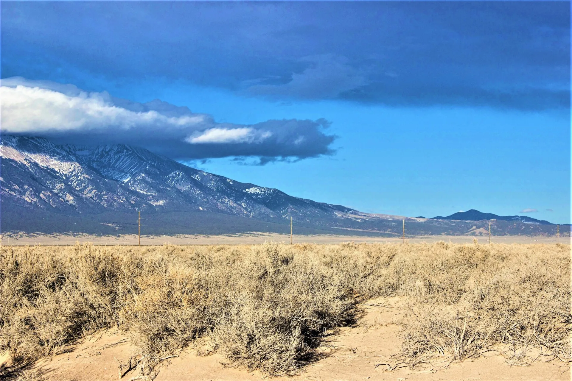
Review the FEMA Flood Map Service Center and contact the local floodplain administrator. Consider drainage channels, wetlands, wildfire exposure, wind, snow, expansive or difficult soils, steep areas, and environmental history. Verify insurance availability and costs before closing if a future structure is part of the plan.
Have a qualified title professional review taxes, liens, mineral reservations, easements, covenants, association obligations, and road agreements. Use a licensed surveyor when boundaries, corners, acreage, encroachments, or access are important. If the parcel is advertised as near public land or recreation, confirm actual distance, public entry points, and lawful access; adjacency does not create a right to cross private property.
Value the parcel without an appreciation promise
Compare recent closed sales of land with similar county, acreage, access, water, utilities, zoning, improvements, covenants, and physical condition. Dynamic listing carousels show current offerings, not verified comparable sales, and availability and prices can change. Include taxes, association or road fees, financing, professional reviews, permits, water and wastewater, power, driveway work, insurance, and maintenance in the full-cost model.
A San Luis Valley parcel may fit a buyer who values open space and has a plan compatible with local rules and site conditions. The decision should still work if approvals take longer, improvements cost more, and resale takes more time than expected.
Use a closing checklist
Before contingencies expire, collect the title documents, survey or recorded plat, written planning response, road and easement records, DWR water or well findings, wastewater information, utility estimates, tax status, covenants, hazard review, and insurance indication in one parcel file. Record what remains unresolved and either extend the review, renegotiate based on documented risk, or decline the parcel. A low price is not a substitute for evidence that the intended use can proceed.
Use this checklist while comparing current land listings.
What daily life in the valley is like
The San Luis Valley sits around 7,500 feet. Winters are cold and long, the sun is strong, and some county roads are not plowed. Many parcels have no water line or power, so plan for a permitted well or hauled water, a septic permit, and solar or a utility line extension. Building rules differ by county, so check with the county before you design a home or cabin.
See our Colorado owner financed land in the San Luis Valley.