
To find who owns a property using county records: 1) identify the exact parcel, 2) check the assessor or appraisal record for the displayed owner or taxpayer, and 3) trace the latest recorded deed and later instruments. The online owner name is a lead—not conclusive proof of legal title.
Start with the exact parcel
Collect the state and county, street address if one exists, parcel or account number, and legal description. Rural land may not have a dependable mailing address, and an owner-name search may return several people or entities. Cross-check acreage, subdivision, lot and block, survey or abstract, map location, and neighboring parcels before treating two records as the same property.
Find the right county offices nationwide
Office names and responsibilities vary by state. Begin at the relevant state or county government website rather than an advertisement or look-alike portal. If you do not know the official local website, use USAGov’s state and local government directory, choose the state, then follow its local-government links. On the official site, search separately for the parcel-tax office and the land-recording office; call the county if the terminology is unclear.
| Research task | Common office names | What to look for |
|---|---|---|
| Identify a parcel and displayed owner | Assessor, property appraiser, appraisal district, real-property tax office | Parcel/account ID, taxpayer or owner display, legal description, appraisal acreage, situs, tax map |
| Find deeds and recorded instruments | County clerk, recorder, register of deeds, land records office | Deeds, mortgages or deeds of trust, releases, liens, easements, restrictions, plats, probate instruments |
| Check tax billing and balances | Treasurer, tax collector, tax assessor-collector, finance office | Tax bills, receipts, delinquency status, certificates, payment records |
| Locate boundaries on the ground | Licensed land surveyor; sometimes a county surveyor for limited public functions | Survey research, monuments, fieldwork, boundary opinion or survey product within the surveyor’s scope |
Do not assume one office performs every function. In Texas, appraisal districts handle appraisal records, county tax offices handle collection functions, and county clerks record real-property instruments. The Texas Comptroller’s county directory locates appraisal districts and tax offices; it does not replace a county-clerk deed search.
Search assessor or appraisal records first
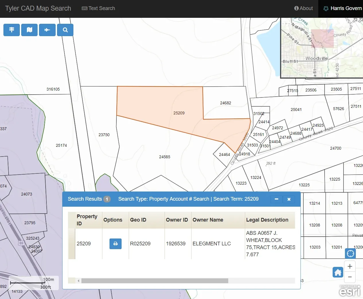
Use the official parcel-search site. Search by parcel number first when available, then by address or owner name. Compare the legal description, acreage, situs, map, account history, and taxing units. Save the page or record and note the date checked because a public display can lag after a sale, probate, divorce, entity change, correction deed, or boundary adjustment.
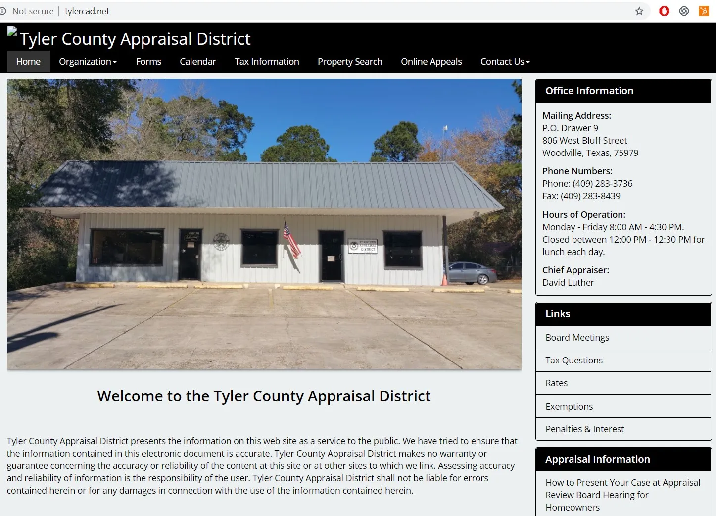
For example, the Alamosa County Assessor describes its assessment role and provides county-specific access points. In Texas, the Tyler County Appraisal District provides local appraisal information. These official sources are useful within their jurisdictions, but neither is a nationwide title certificate.
Trace the recorded deed and later instruments
Next, search the clerk, recorder, register of deeds, or equivalent land-record office where the property is located. Start with the most recent deed you can connect to the parcel, then check the grantor-to-grantee sequence and legal description. Search for later deeds, mortgages or deeds of trust, releases, liens, easements, restrictions, probate documents, plats, and other instruments that may affect the same property.
Texas Property Code Chapter 12 addresses recording instruments in Texas. A recorded copy is important evidence, but finding one deed is not a complete title examination. Identity, priority, marital or probate rights, legal-description conflicts, unrecorded interests, fraud, and later instruments may require professional review.

Match every source to the same parcel
Compare the deed’s legal description with the assessor or appraisal record and any recorded plat. Do not rely only on a pin or parcel polygon. GIS and tax maps may be shifted, generalized, or prepared for appraisal and planning rather than a boundary survey. For a boundary decision, use deed and plat research plus a licensed surveyor. The related guide on finding land corners and boundaries explains why field evidence matters.

Lookup versus verification
| Source or professional | Useful for | Does not by itself establish |
|---|---|---|
| Assessor or appraisal record | Finding the parcel, taxpayer or owner display, appraisal facts, and tax-map context | Current marketable title, legal access, exact boundaries, or an enforceable purchase right |
| Recorder, clerk, or register of deeds | Retrieving deeds and other recorded instruments and following the public record | A complete title opinion, document validity, priority, or absence of unrecorded interests |
| Title company, title examiner, or attorney | Examining title evidence, exceptions, ownership risks, and transaction requirements within the engagement | The physical location of boundary lines unless survey evidence is also obtained |
| Licensed land surveyor | Researching and locating boundaries, monuments, and encroachments within the survey scope | Legal ownership or the priority and enforceability of title interests |
Escalate when the answer affects a decision
For a purchase, loan, inheritance, dispute, boundary project, or significant improvement, obtain appropriate title work and legal advice. Verify taxes separately with the collecting authority. If the records conflict, preserve copies and dates, identify the discrepancy, and resolve it before relying on ownership, access, acreage, value, or boundary assumptions. For a separate pricing task, use the Texas land valuation guide; an appraisal value or tax record is not a substitute for a parcel-specific market analysis.
If the records confirm that you own the land and you are considering a sale, you can ask Elegment Land for a direct purchase offer. Including the county, parcel number, and acreage helps our team review the property.
Want to buy land without a bank? See how our owner financed land works.


