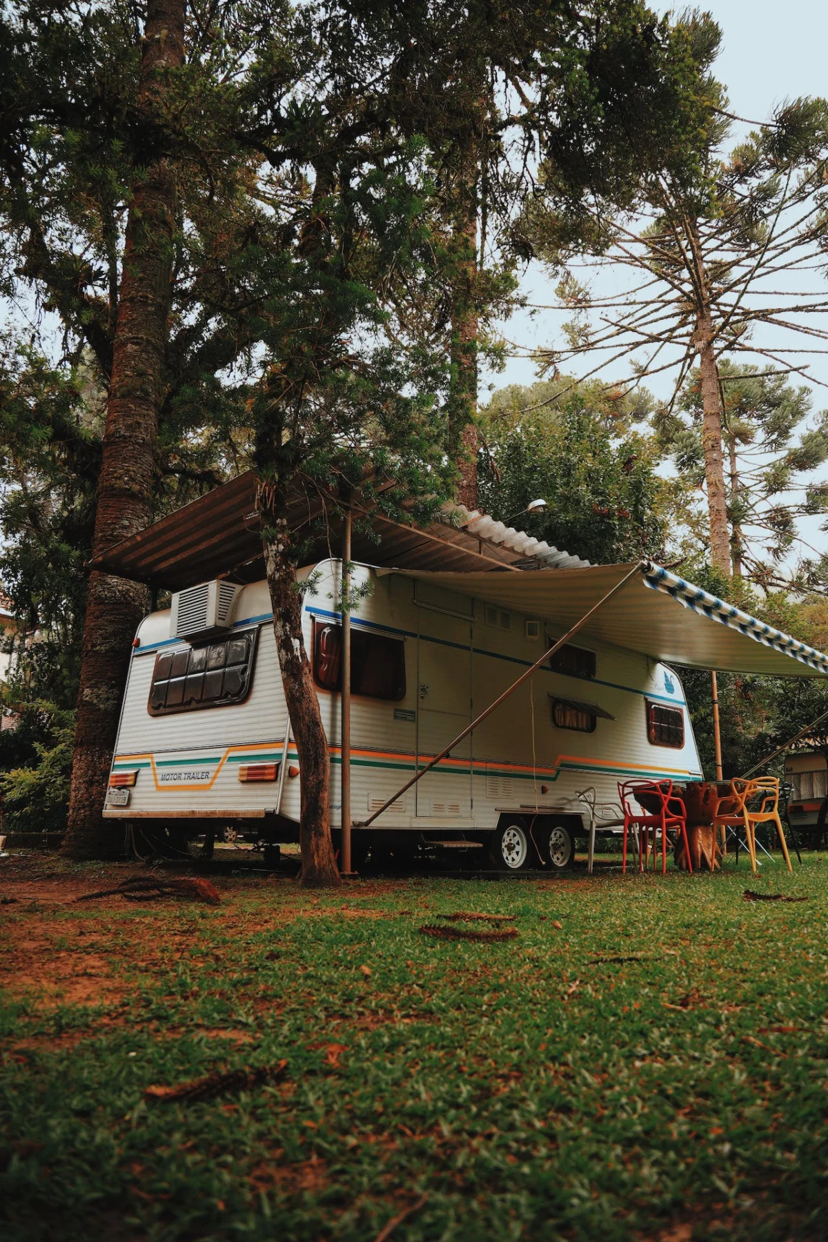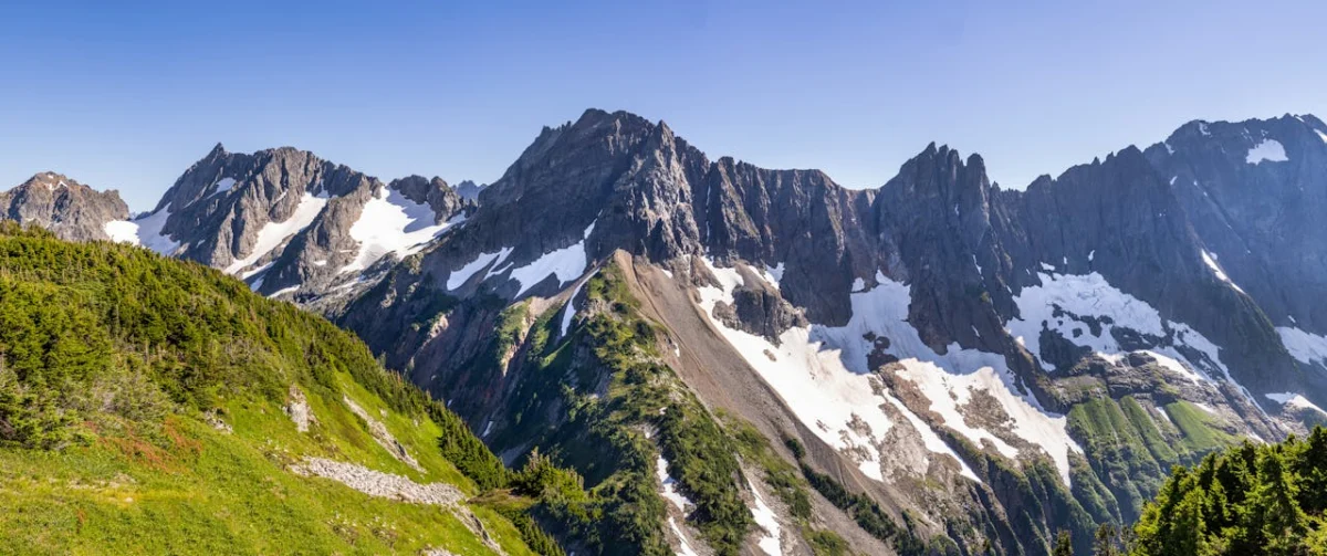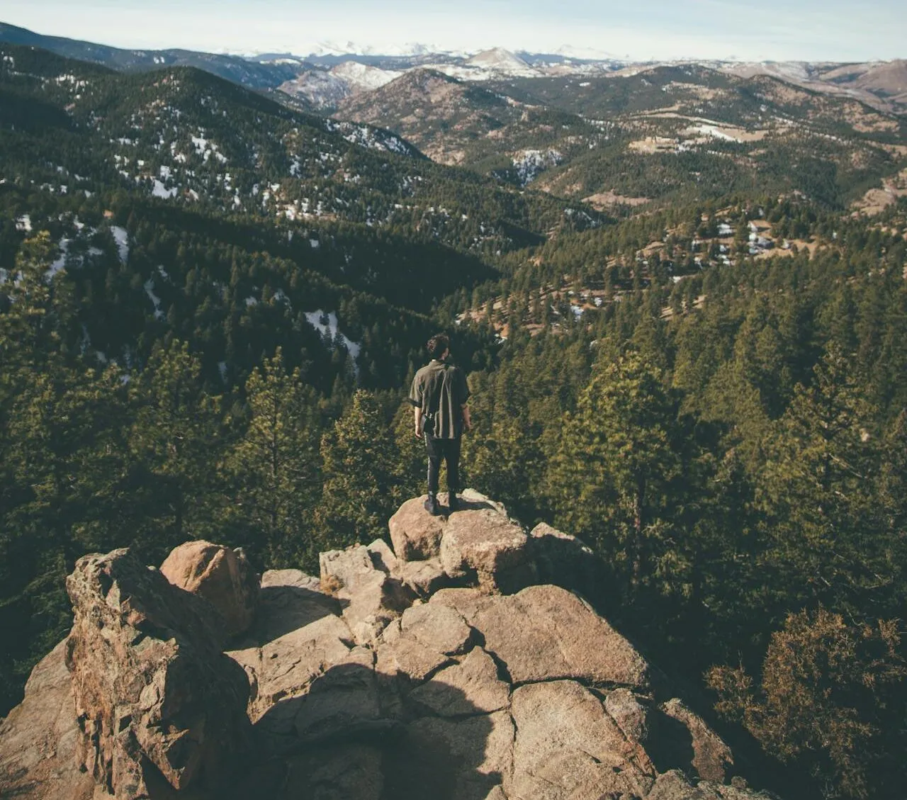
The San Luis Valley opens into dunes, waterfalls, forest, and high alpine terrain. Those landscapes are close on a map but very different underfoot. Choose a destination from the official land manager, match it to your experience, and check conditions the day you travel.
Great Sand Dunes National Park and Preserve
The National Park Service hiking page is the starting point for dune and park routes. The dunefield itself has no constructed trail, so tracks shift and distance can feel deceptive. NPS warns that summer sand can become dangerously hot and that thunderstorms and lightning can develop. Morning or evening is often the safer planning window, but current weather and park conditions still control.
Carry water, sun protection, sturdy footwear, and a map. Do not turn a third-party app label into an official trail name. The park page identifies recognized destinations and explains when route-finding, creek conditions, or backcountry planning are involved.
Zapata Falls Recreation Area
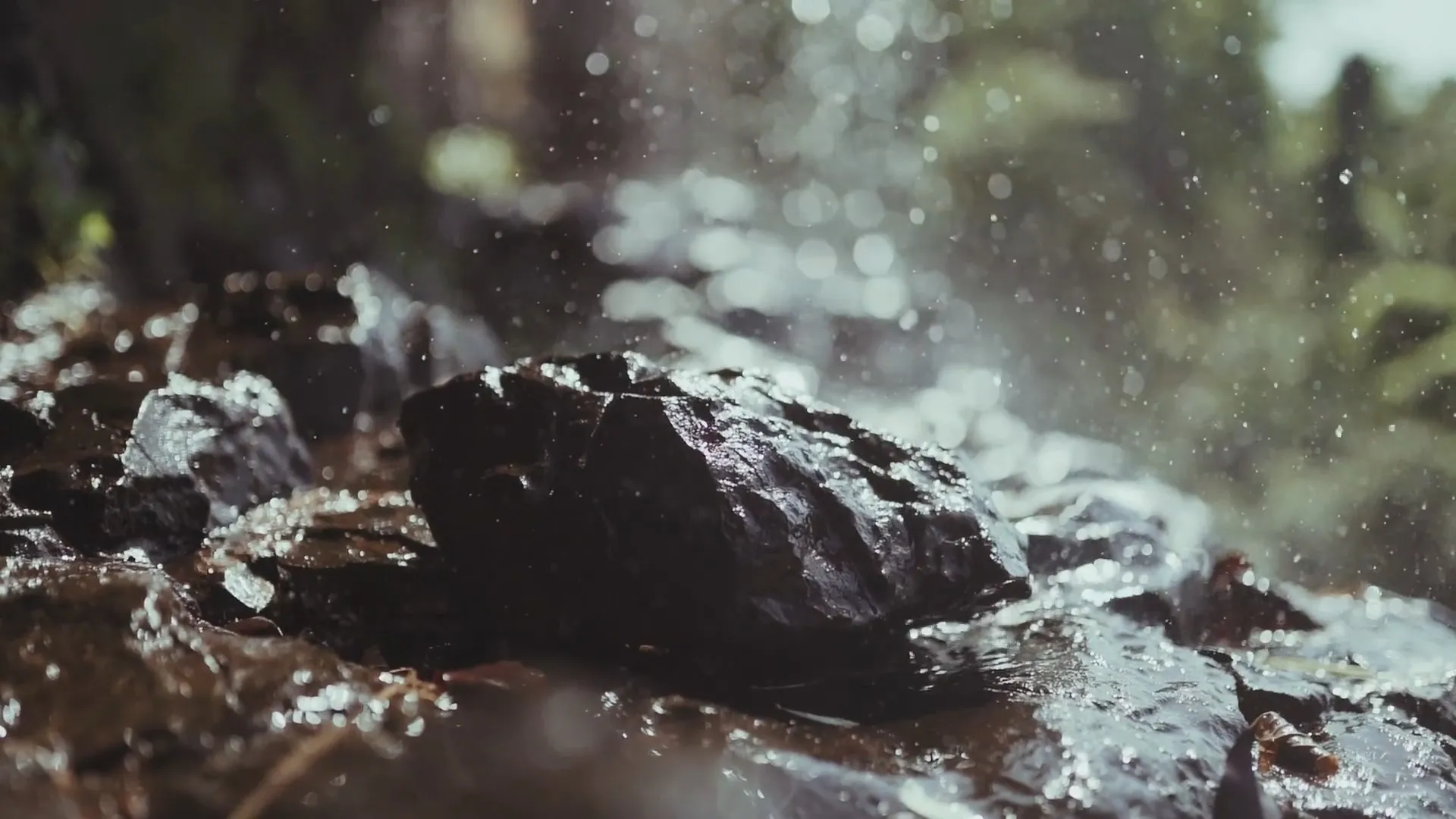
The BLM Zapata Falls page describes a mildly steep half-mile hike from the day-use area and an unpaved approach road. Reaching the view may involve wet, slippery rock and cold water near the falls. Footing, runoff, ice, and road conditions can change, so use the BLM page for current directions and site information rather than relying on a generic “hidden waterfall” description.
The campground area also connects with longer backcountry travel. That does not make every continuation a casual extension. Know which agency manages the route, carry navigation, and turn around when weather, water, or terrain exceeds your plan.
Rio Grande National Forest
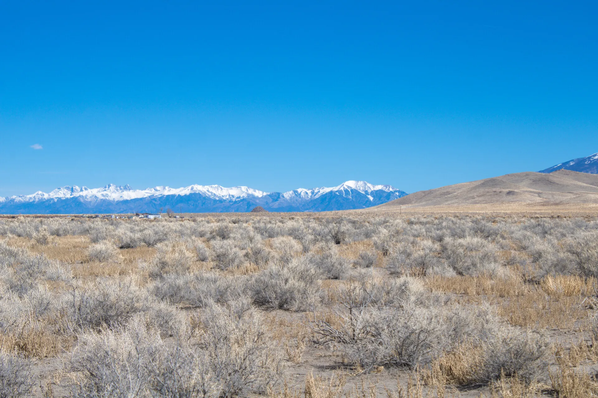
Rio Grande National Forest contains many recreation sites, but “a forest trail” is not a single level of difficulty. Use the Forest Service recreation directory to select an official trailhead or site. Then compare distance, elevation gain, road access, season, navigation demands, and current orders with your group’s ability.
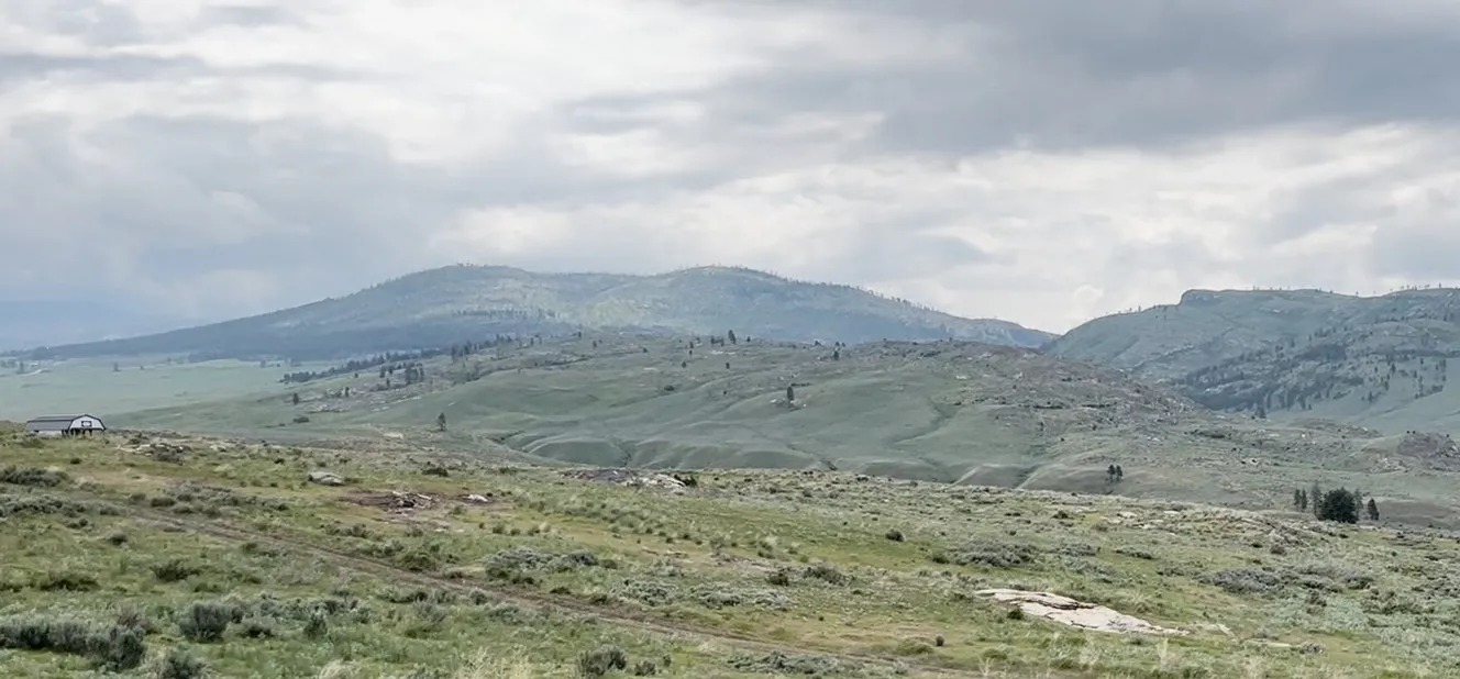
Before leaving cell service, check the forest’s alerts and closure orders. Wildfire, snow, washouts, maintenance, and seasonal gates can change access. Tell someone your route and return time, and carry enough clothing, water, food, and navigation for an unplanned delay.
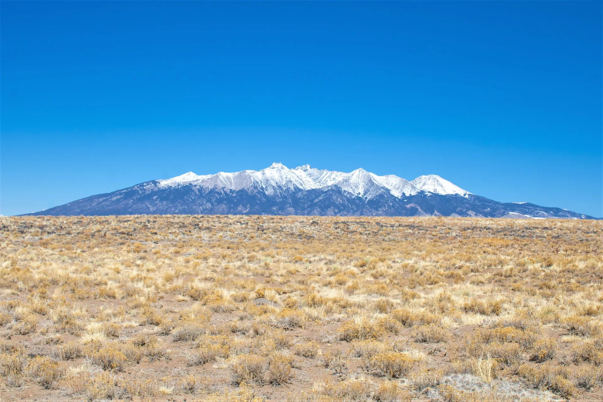
Blanca Peak is a serious alpine objective
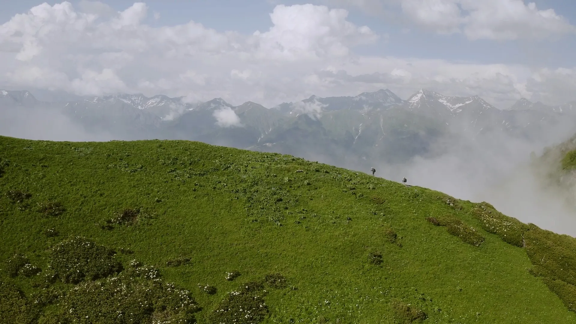
Blanca Peak is a serious alpine objective, not a casual hike. The Forest Service Blanca Peak Trailhead page describes a very rough 4.5-mile jeep road, specialized high-clearance four-wheel-drive access, and a steep, rocky upper route that becomes a scramble. Sudden weather and thunderstorms add real danger.
The summit rises above 14,000 feet. High altitude can affect fit visitors, and help may be far away. Evaluate acclimatization, route-finding ability, exposure, scrambling, turnaround time, forecast, snow or ice, and emergency options. A passenger vehicle should not be assumed capable of reaching the upper trailhead. Parking lower adds substantial distance and elevation to an already difficult day.
Check Forest Service conditions and closures immediately before the attempt. If the road, forecast, smoke, snow, health, or group experience is wrong, choose a lower, managed destination. A mountain remains available for another day; a summit is never owed.
Altitude and weather deserve their own decision
Visitors arriving from lower elevations should give their bodies time to adjust and watch for symptoms that are more than ordinary fatigue. Do not push higher when someone is becoming ill; descending and seeking medical help may be necessary. Forecasts for a nearby town do not describe every ridge or summit. Check the destination forecast, start with enough time to avoid afternoon storms, and carry layers for a rapid temperature drop. Lightning, wind, snow, smoke, and intense sun can turn a reasonable outing into an emergency.
Build a safe hiking plan
- Use the official park, BLM, or Forest Service page for the exact destination.
- Confirm route name, distance, elevation gain, road class, parking, and jurisdiction.
- Check weather, lightning timing, wildfire information, snow, stream crossings, and closures.
- Carry offline navigation and do not depend on cell service.
- Bring water, food, layers, sun protection, and emergency supplies.
- Leave a route and return time with someone who is not on the hike.
- Turn around before conditions exceed the group’s experience or equipment.
Land ownership and recreation access are separate
Owning land in the valley does not create a private trail to a park, forest, waterfall, or summit. Verify recorded access to the parcel and use lawful public routes to recreation sites. Never cross neighboring land or closed roads because an app draws a convenient line. For broader parcel checks, see our San Luis Valley land-buying guide.
See our mountain land for sale in Colorado and Washington.
Official resources
- NPS Great Sand Dunes hiking
- BLM Zapata Falls Recreation Area
- Rio Grande National Forest recreation directory
- Rio Grande National Forest alerts
- Forest Service Blanca Peak Trailhead
Start with a place that is officially named, honestly assess the route, and leave room to turn around. That is how a beautiful day in the San Luis Valley stays a good one.