
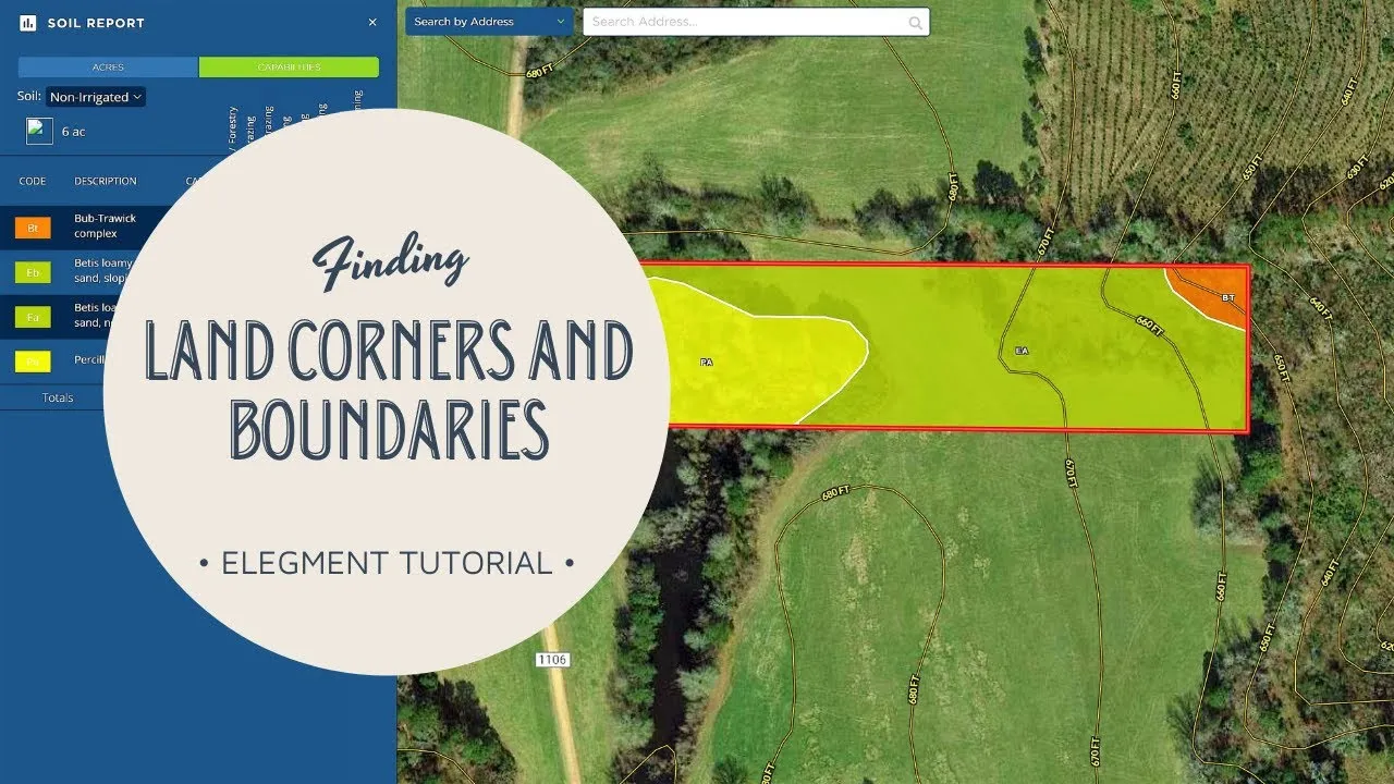
Finding a rural parcel is one thing. Determining its legal boundary is another. A phone map, listing pin, assessor layer, or handheld GPS can help you navigate toward the land and screen its general shape. None of those tools establishes where ownership begins or ends.
Start with the deed, plat, and recorded documents
Begin with the current deed and every recorded document it references. The legal description may use a subdivision lot, metes and bounds, the Public Land Survey System, or another method. Obtain the recorded plat or survey when one exists, then check easements, road documents, adjoining descriptions, and later boundary agreements. The county clerk or recorder is the source for recorded instruments; an assessor map is primarily an assessment tool, not a boundary opinion.
Historic federal survey plats and field notes may also matter in public-land states. The BLM General Land Office Records site provides access to many federal land records, while the BLM Cadastral Survey program explains that cadastral surveys create, define, mark, and re-establish boundaries and subdivisions of U.S. public lands. These records can provide context, but interpreting how they control a specific private parcel is work for a qualified professional.
How to find approximate property coordinates safely
For a navigation point—not a surveyed corner—start with the official assessor or county GIS for the county where the parcel is located. Search by parcel ID first when available; otherwise try the situs address or owner name. Match the result to the deed or tax record using the parcel ID, legal description, acreage, and nearby roads before copying any coordinate.
- Open the parcel record and zoom to the displayed parcel polygon. If the viewer offers a Coordinates, Location, or point-identify tool, click a point well inside the displayed polygon rather than on a corner or boundary line.
- Copy the coordinate exactly as labeled, including the format and datum when the viewer supplies them. For decimal degrees, label the values latitude and longitude; USGS reference material lists latitude in the range -90 to 90 and longitude in the range -180 to 180.
- Paste the coordinate back into the official viewer or another map and confirm that the pin returns to the same general parcel area. If it jumps elsewhere, check whether the values were reversed, whether west longitude lost its minus sign, or whether the source used a different coordinate format.
- Save the parcel ID, coordinate, viewer URL, access date, and a screenshot showing where the point was taken. Call it an “approximate parcel navigation point,” not a property corner.
Official public viewers differ. The Massachusetts state parcel-map guide, for example, documents parcel search and coordinate features while warning that assessor parcel mapping is a representation, not an authoritative boundary source. Lake County, Ohio’s official GIS guidance similarly states that its property-ownership parcel layer is not survey accurate. These examples explain the safe distinction: a point copied from a tax parcel map can support orientation, but it cannot establish a monument, corner, line, acreage, legal access, or a place to build.
Use GIS and GPS for screening and navigation
County GIS, satellite imagery, listing maps, and coordinates are useful for planning a visit. When flood screening is also part of the visit plan, use the same approximate point with this FEMA Flood Map Service Center and re-check the parcel identity in both systems. They can help you identify the general vicinity, compare the advertised shape with surrounding roads, and navigate toward a possible corner area. Before traveling, download an offline map, carry the parcel information, and confirm that the route is legally available to you. A line visible on a screen does not prove public access.
Consumer GPS accuracy changes with device quality, satellite geometry, tree cover, terrain, buildings, atmosphere, and the source of the coordinates. A parcel polygon may also be shifted relative to imagery. Treat the blue location dot and displayed boundary as approximate. They are not suitable for deciding where to place a fence, driveway, well, septic system, home, or other improvement.
Look for monuments without disturbing them
A surveyor may rely on original or controlling monuments, record evidence, occupation lines, and measurements—not coordinates alone. NOAA’s explanation of the Four Corners survey monument is a helpful reminder that an established physical monument can carry legal significance even when a modern coordinate calculation appears different. Do not move, reset, paint, or create a marker. Photograph what you find, note its condition and surroundings, and share that information with the surveyor.
Fences, walls, roads, stakes, flagging, and utility lines can be clues, but they are not automatically the legal boundary. Longstanding occupation may raise legal questions that require a surveyor and, sometimes, a real-estate attorney. If a marker is missing or disputed, guessing creates risk for both neighbors.
When to hire a licensed land surveyor
Hire a licensed land surveyor when the boundary affects a purchase decision, construction, fencing, access, a setback, an easement, a neighbor disagreement, or the location of a valuable improvement. Provide the title commitment, deed, plats, prior surveys, easements, and any evidence found on site. Ask what type of survey is appropriate and what the final deliverables will show.
Verify the professional’s current credential through the Colorado DORA license lookup or the licensing authority in the state where the land is located. A surveyor can research the record, recover evidence in the field, evaluate conflicting calls, and issue a professional opinion. Only a court can finally resolve certain disputes, so obtain legal advice when title or ownership is contested.
Coordinate the survey with title and project planning
A survey is most useful when its scope matches the decision. Ask the title company, lender, designer, and permitting office what they need before ordering fieldwork. Review whether the title commitment contains a general survey exception and whether an acceptable survey could clarify or remove it. If a driveway, utility route, septic area, or building site is planned, tell the surveyor so relevant easements, setbacks, and visible improvements can be considered. Keep the signed survey with the deed and closing records, and give later contractors the final document rather than a screenshot from a listing.
A practical field checklist
- Confirm permission and lawful access before entering the parcel or neighboring land.
- Carry the deed, recorded plat, prior survey, listing map, and offline navigation.
- Use listing coordinates to approach the area—not to declare a corner.
- Photograph possible monuments in place; do not disturb them.
- Note fences, roads, utilities, washes, and visible occupation lines.
- Stop if conditions are unsafe or if access would require trespassing.
- Order a licensed boundary survey before relying on a line for improvements or a dispute.
Every lot we sell lists its price, GPS corners, utilities and rules. Browse our Texas land for sale.
Official resources
- BLM Cadastral Survey
- BLM General Land Office Records
- NOAA National Geodetic Survey: monuments and boundaries
- Colorado professional license lookup
- MassGIS: parcel-map coordinates and boundary limitations
- Lake County, Ohio GIS: parcel-layer accuracy guidance
- USGS: latitude and longitude formats and ranges
Maps make rural land easier to explore. The safest approach is simple: use digital tools to orient yourself, use the record to understand the legal description, and use a licensed surveyor when the exact boundary matters.


