To estimate what your Texas land may be worth, start with recent comparable sales—not asking prices or appraisal-district values—then adjust for acreage, legal access, utilities, restrictions, terrain, hazards, and permitted use. No online calculator can determine an exact value for every parcel, and a market estimate is not a formal appraisal.
1. Define the property and the valuation question
Start with the parcel ID, legal description, acreage, location, current use, and the date for which you need an estimate. “What might a buyer pay today?” is different from “What value did the appraisal district assign for property-tax purposes?” The Texas Comptroller’s property-tax overview explains that local appraisal districts appraise taxable property and local taxing units set tax rates. An appraisal-district value is useful evidence, but it is not a sale offer or a guarantee of market value.
2. Gather nearby land comparables
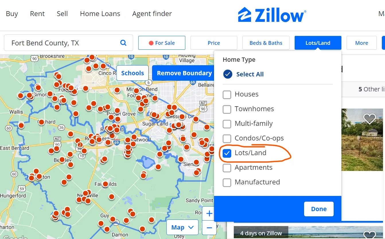
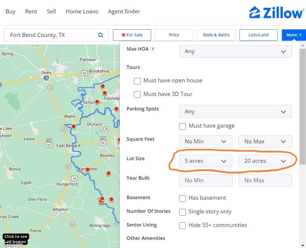
Look for recent sales of vacant land in the same competitive market, preferably in the same county or a nearby area with similar buyer demand. Match acreage range, road access, utility availability, restrictions, topography, flood exposure, and intended use. Active listings can show current seller expectations, but their asking prices are not completed-sale prices. County deed records may confirm transfers without disclosing a usable sale price.
If reliable closed-sale data are limited, ask a Texas-licensed appraiser or a local land professional with access to appropriate market data. The Texas Tax Code’s appraisal provisions describe market value and recognized appraisal approaches in the property-tax context; they do not turn a simple online average into a formal appraisal.
3. Compare price per acre carefully
For each reasonably comparable property, divide the sale price by acres. Do not assume that a five-acre tract should have the same price per acre as a 100-acre tract. Smaller parcels often trade in a different buyer pool, and improvements or development potential can dominate the arithmetic. Use a range rather than one precise figure when the evidence is thin.
4. Adjust for legal access and utilities
Confirm both physical access and a recorded legal right of access. Road frontage can be less valuable if entrances are restricted or a road is not publicly maintained. Verify electricity, water, wastewater, and communications with the providers and permitting authorities that serve the exact parcel. “Utilities nearby” does not establish connection capacity or cost, and an existing well or septic system still requires records and condition review.
5. Review terrain, soils, water, and hazards
Slope, drainage, soil, vegetation, wetlands, wildfire conditions, and mapped flood hazard can change usable acreage and development cost. Review FEMA mapping, but remember that a low mapped hazard is not zero risk. For agricultural context, the USDA agricultural land-values report provides broad regional and state statistics; it is not a parcel appraisal and should not be applied mechanically to residential or recreational tracts.
6. Check title, restrictions, and permitted use
Review current deeds, easements, liens, mineral reservations, subdivision restrictions, zoning or other land-use controls, and permit requirements. Rules can vary among cities, counties, special districts, and private covenants. Confirm the intended home, RV, agricultural, commercial, or recreational use with the authorities and documents that govern that parcel.
7. Reconcile a range and choose the right professional
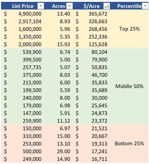
Place the strongest comparables in a table, explain each adjustment, and produce a supported range. Do not automatically discard the highest and lowest quarter of observations: with a small or mixed sample, that shortcut can remove the best evidence. A broker price opinion, tax appraisal, owner estimate, and licensed appraisal have different purposes. The Texas Appraiser Licensing and Certification Board distinguishes an estimated sale price from a market-value appraisal and cautions against presenting a CMA or BPO as an appraisal. For lending, litigation, estate, tax, or other high-stakes decisions, obtain the professional work appropriate to that assignment.
Hypothetical three-comparable example
This example is entirely hypothetical, educational only, and not an appraisal, CMA, BPO, offer, or opinion of market value. The parcels, prices, and dollar adjustments are invented to demonstrate arithmetic. Real adjustments require current, verified market evidence and qualified judgment.
| Comparable | Hypothetical sale | Acres | Price per acre | 10-acre baseline | Illustrative adjustments | Adjusted indication |
|---|---|---|---|---|---|---|
| A | $96,000 | 8 | $96,000 ÷ 8 = $12,000 | $12,000 × 10 = $120,000 | −$8,000 for the subject’s weaker utility position; +$3,000 for its better road access | $120,000 − $8,000 + $3,000 = $115,000 |
| B | $132,000 | 12 | $132,000 ÷ 12 = $11,000 | $11,000 × 10 = $110,000 | +$10,000 for the subject’s better combined access and utility position | $110,000 + $10,000 = $120,000 |
| C | $125,000 | 10 | $125,000 ÷ 10 = $12,500 | $12,500 × 10 = $125,000 | −$7,000 for the subject’s greater mapped-flood and drainage concerns | $125,000 − $7,000 = $118,000 |
The three adjusted indications are $115,000, $120,000, and $118,000. They support an illustrative range of $115,000–$120,000; the middle indication after sorting is $118,000. That reconciliation is not automatically the right answer: a real analysis should weight the most similar, best-verified sales and explain why. Use our reviewed Texas land-research workflow to organize listing, appraisal-district, map, and parcel-specific evidence before relying on a comparison.
A preliminary estimate is only as reliable as its data. Recheck changes in access, utilities, restrictions, permits, market conditions, and property condition before relying on an older analysis.
Every lot we sell lists its price, GPS corners, utilities and rules. Browse our Texas land for sale.
Thinking about selling your Texas land instead? We buy land directly. See how to sell your land to Elegment Land.