A ranch plan begins with the land’s real capacity, not a projected return. Whether the goal is livestock, crops, recreation, wildlife management, a residence, or a mix of uses, the safest approach is to verify the parcel, inventory its resources, confirm the approval path, and build a phased budget. This checklist keeps the vision grounded in facts that can be tested before major spending begins.
Start with title, boundaries, and access
Review the title commitment, deeds, recorded easements, mineral exceptions, restrictions, and any leases or grazing agreements. Compare the legal description with a current survey when appropriate. Walk the boundaries with the survey in hand and note fences, encroachments, gates, pipelines, transmission lines, roads, and access points. Fences are management features; they are not proof of a legal boundary.
Confirm legal and physical access for the vehicles and equipment the ranch will need, including livestock trailers, feed trucks, construction vehicles, and emergency response. Identify who maintains each road and whether easements allow the expected use. For new or modified connections to a state highway, TxDOT’s permit guidance calls for an executed driveway permit before construction in the right of way.
Map soils, water, terrain, and environmental constraints
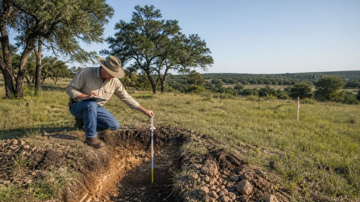
Create a base map showing boundaries, contours, drainage, water features, existing improvements, roads, utilities, pastures, wooded areas, and proposed work. USDA’s Web Soil Survey provides current official soil-survey information for a selected area and can help frame questions about forage, roads, structures, and wastewater. It remains a planning screen; on-site soil, engineering, and septic evaluations may still be needed.
Screen flood exposure through FEMA’s official flood-mapping resources and discuss current local floodplain requirements with the floodplain administrator. Review the U.S. Fish and Wildlife Service Wetlands Mapper for planning context, while respecting its warning that mapped data do not establish the presence, absence, or regulatory extent of wetlands. Activities that may affect waters or wetlands require appropriate agency review.
Inventory springs, ponds, wells, troughs, tanks, and distribution lines, then match them to seasonal demand. The Texas Water Development Board groundwater database provides selected well, level, and quality data, but nearby records do not guarantee a new well’s depth, yield, or quality. For surface water, TCEQ explains that Texas generally requires state permission unless a statutory exemption applies. Confirm any claimed water right, exemption, groundwater-district rule, or transfer with the controlling authority.
Confirm allowed uses and permits
Describe the full concept to the city or county, including residences, barns, arenas, guest accommodations, commercial events, hunting, short-term stays, roads, ponds, wells, septic, and any subdivision. Ask which offices and districts have authority and request the current application sequence. Review deed restrictions, association documents, easements, conservation agreements, and lender conditions separately because public approval does not override private restrictions.
Before treating any ranch use as feasible, verify title, access, zoning or other use controls, utilities, water, wastewater, flood and environmental constraints, permits, survey and boundaries, and the exact intended use. TCEQ’s OSSF guidance says septic systems generally require permits and approved plans and recommends a site evaluation. Confirm building, driveway, grading, drainage, water, wastewater, and environmental approvals before work begins.
Build the operating plan around forage and water
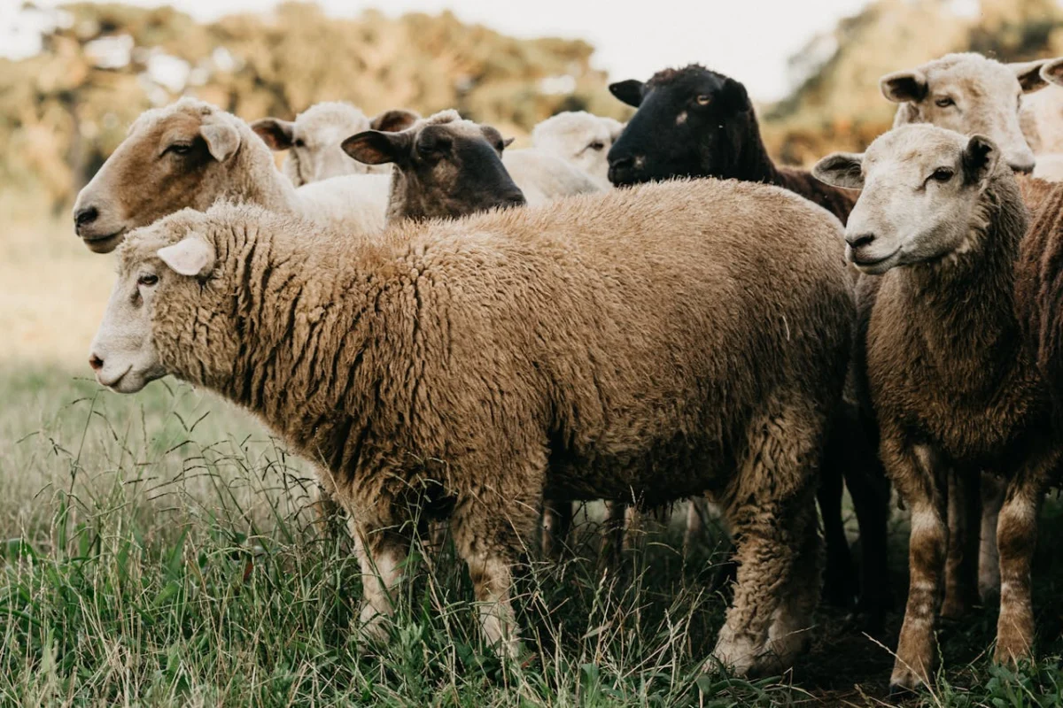
For livestock, a ranch’s carrying capacity changes with soils, vegetation, rainfall, management, and drought. Texas A&M AgriLife Extension advises ranchers to monitor forage supply and demand, use a conservative stocking rate, and keep it flexible. Have a qualified local advisor help inventory forage and create trigger points for reducing demand before conditions become critical.
Plan fencing, lanes, shade, handling facilities, water points, hay or feed storage, and equipment access as one system. Test water quality for the intended use and design storage and distribution around peak demand and outage scenarios. A pond, creek, or neighboring well on a map is not proof of reliable or legally available water.
Use a phased, conservative budget
Separate acquisition costs from capital improvements and annual operations. Include title and closing, survey, professional studies, permits, roads, drainage, fencing, water systems, wastewater, electricity, communications, structures, equipment, livestock, insurance, taxes, maintenance, labor, feed, veterinary care, and contingency. Obtain parcel-specific estimates and phase work so early findings can change later design.
Model more than one scenario. Revenue may vary with production, weather, prices, occupancy, operating limits, and market demand, while many expenses continue. Do not rely on appreciation, a fixed stocking rate, or a projected lease as a guarantee. Set decision gates: title and access verified; water plan supported; intended uses confirmed; environmental and flood issues addressed; budget funded; and professional estimates received.
Plan stewardship and monitoring
Good stewardship is practical risk management. Establish baseline photos and records for vegetation, soil cover, erosion, water condition, invasive plants, infrastructure, and wildlife goals. Track forage and water through the seasons, adjust grazing pressure, and maintain roads and drainage before damage expands. USDA NRCS conservation assistance and the local Texas A&M AgriLife Extension office can help landowners frame resource-management questions.
A successful ranch plan is not a one-time prediction. It is a verified starting point, a realistic budget, and a monitoring system that lets the owner adapt as the land and operation change.
Use the checklist to compare current land listings on the same basis.
See our ranch land for sale, from small Texas ranchettes to larger tracts.
Official resources
Official sources reviewed August 26, 2026. Recheck soil, stocking-rate, water-right, OSSF, flood, wetlands, and title guidance for the parcel and planned operation.