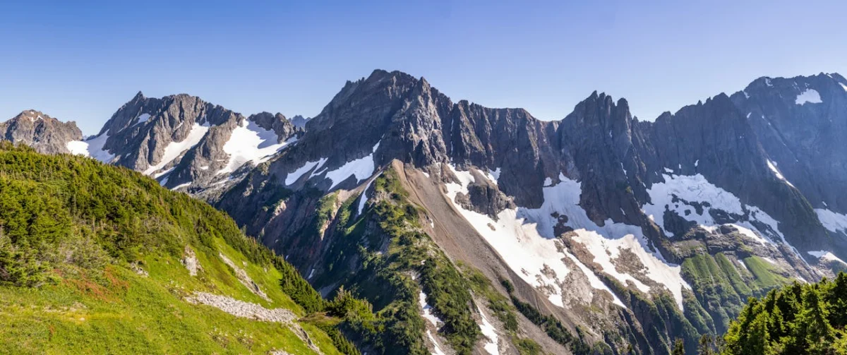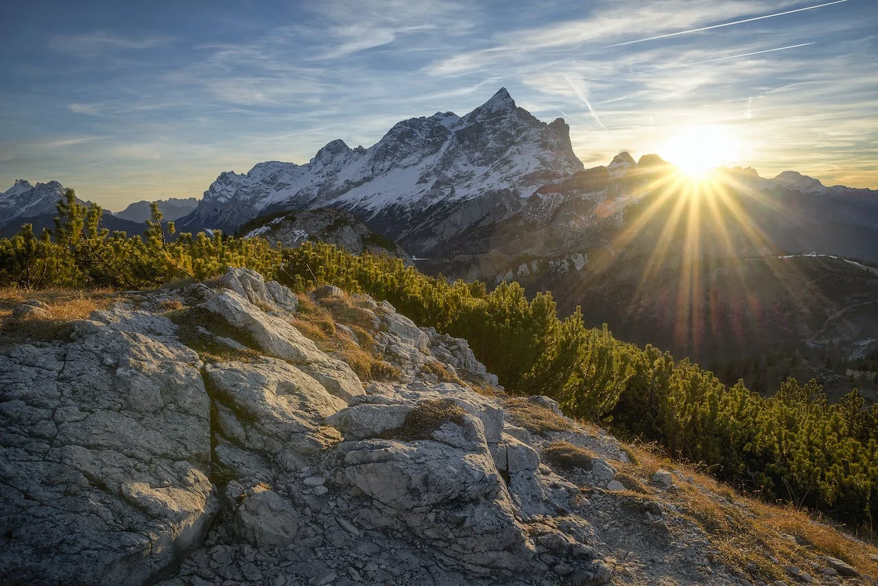
Costilla, Alamosa, and Conejos counties all sit within the San Luis Valley region, but they do not offer one interchangeable “mountain-view” experience. Costilla and Alamosa are commonly screened for Sangre de Cristo context to the east, while Conejos spans valley-floor terrain in the east and rises into the San Juan Mountains in the west. The view from any parcel still depends on its coordinates, orientation, terrain, vegetation, weather, and nearby development.
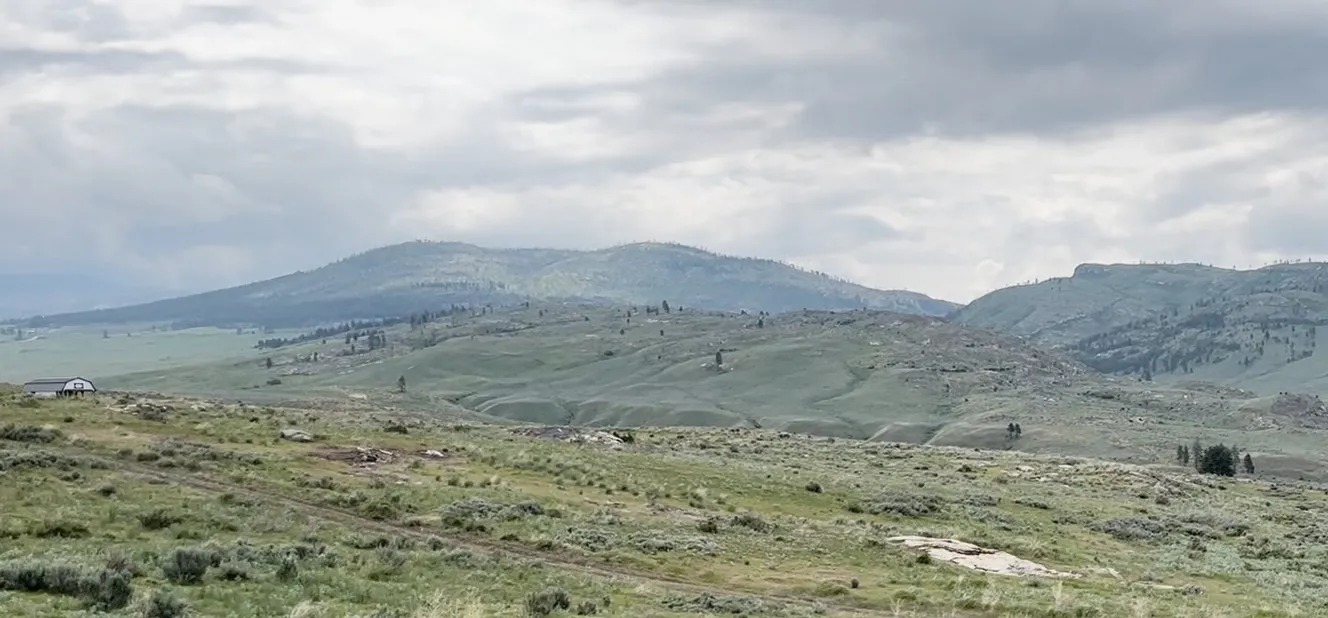
At-a-glance county comparison
- Costilla County: part of the three-county Sangre de Cristo National Heritage Area, within the San Luis Valley. Screen parcels for their orientation to the Sangre de Cristo range, then verify the actual sightline on site.
- Alamosa County: also within the heritage area. The National Park Service states that Great Sand Dunes National Park and Preserve is situated in Alamosa and Saguache counties. Confirm distance, route, and visibility from the parcel rather than treating a county name as proximity.
- Conejos County: the county’s official geography description places nearly level valley floor in the east and the San Juan Mountains in the west, rising to about 13,000 feet. That broad east-west contrast makes parcel location especially important.
This is a geographic search framework, not a ranking and not a promise of a protected view.
Costilla County: Sangre de Cristo context
The National Park Service identifies Costilla, Alamosa, and Conejos as the counties spanned by the Sangre de Cristo National Heritage Area. NPS describes the heritage area as more than 3,000 square miles in south-central Colorado within the San Luis Valley. That establishes regional context; it does not establish which peaks can be seen from a tract.
For a Costilla parcel, note the direction and width of the desired sightline, then inspect it from likely home, driveway, and outdoor-use areas. Check whether intervening ridges, vegetation, neighboring parcels, or future lawful development could affect it. Nearby public land or mountains do not establish a legal route from private property.
Alamosa County: valley and dune context
Alamosa County lies within the San Luis Valley and the same three-county heritage area. NPS places Great Sand Dunes National Park and Preserve in Alamosa and Saguache counties. Buyers should use the parcel’s actual location and current roads to confirm distance and travel time; the park’s presence in the county does not mean a parcel overlooks it.
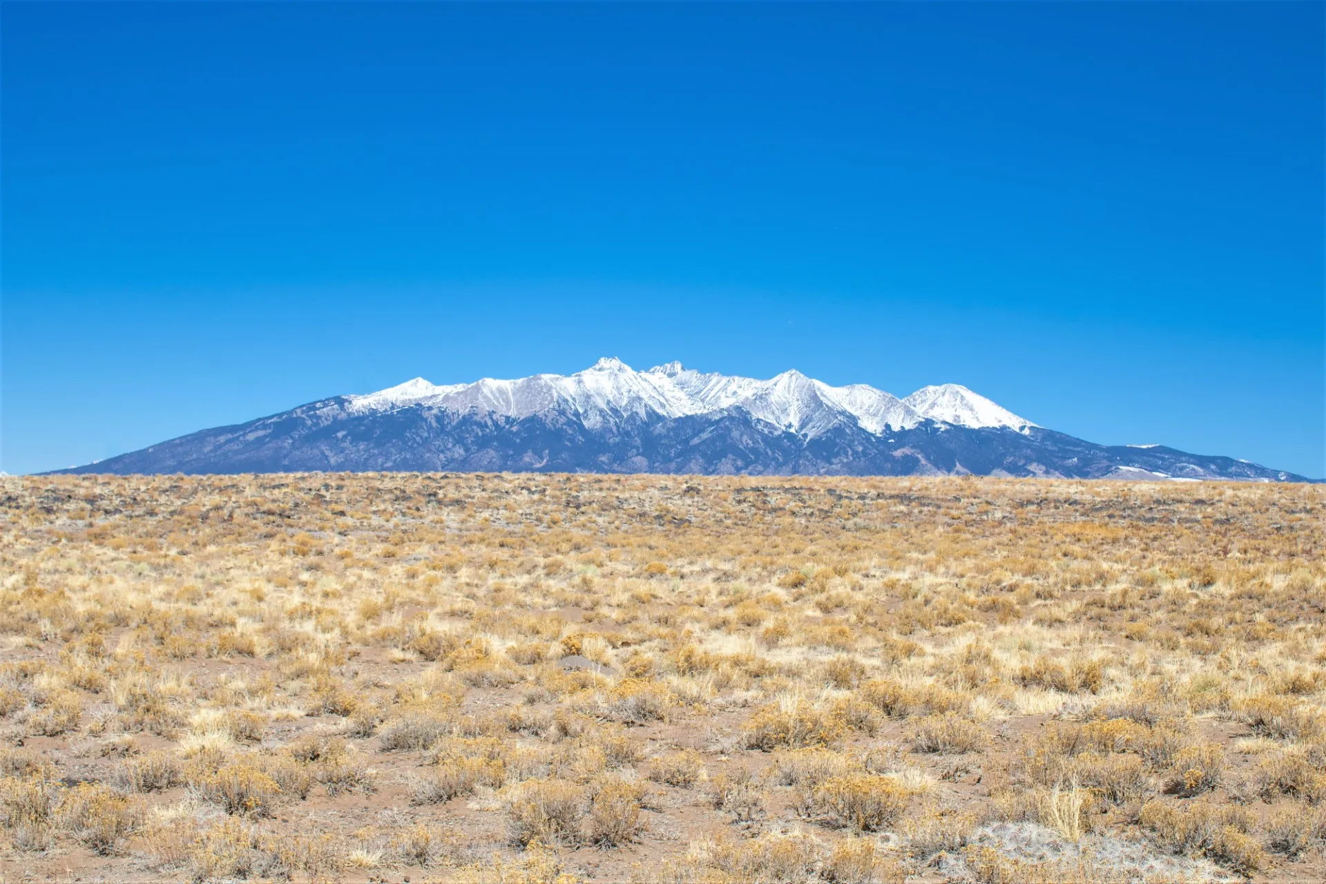
Compare the parcel’s orientation with the mountains, dunes, roads, and surrounding uses. Visit under ordinary conditions when authorized, and remember that visibility can change with weather, smoke, vegetation, and development.
Conejos County: valley floor and San Juan context
Conejos County’s official website describes the county at the southern end of the San Luis Valley, with nearly level valley-floor terrain averaging about 7,700 feet in the east and the San Juan Mountains rising from the west to about 13,000 feet. This supports a meaningful geographic distinction from the two eastern-range screens above, but it still cannot establish a parcel’s view.
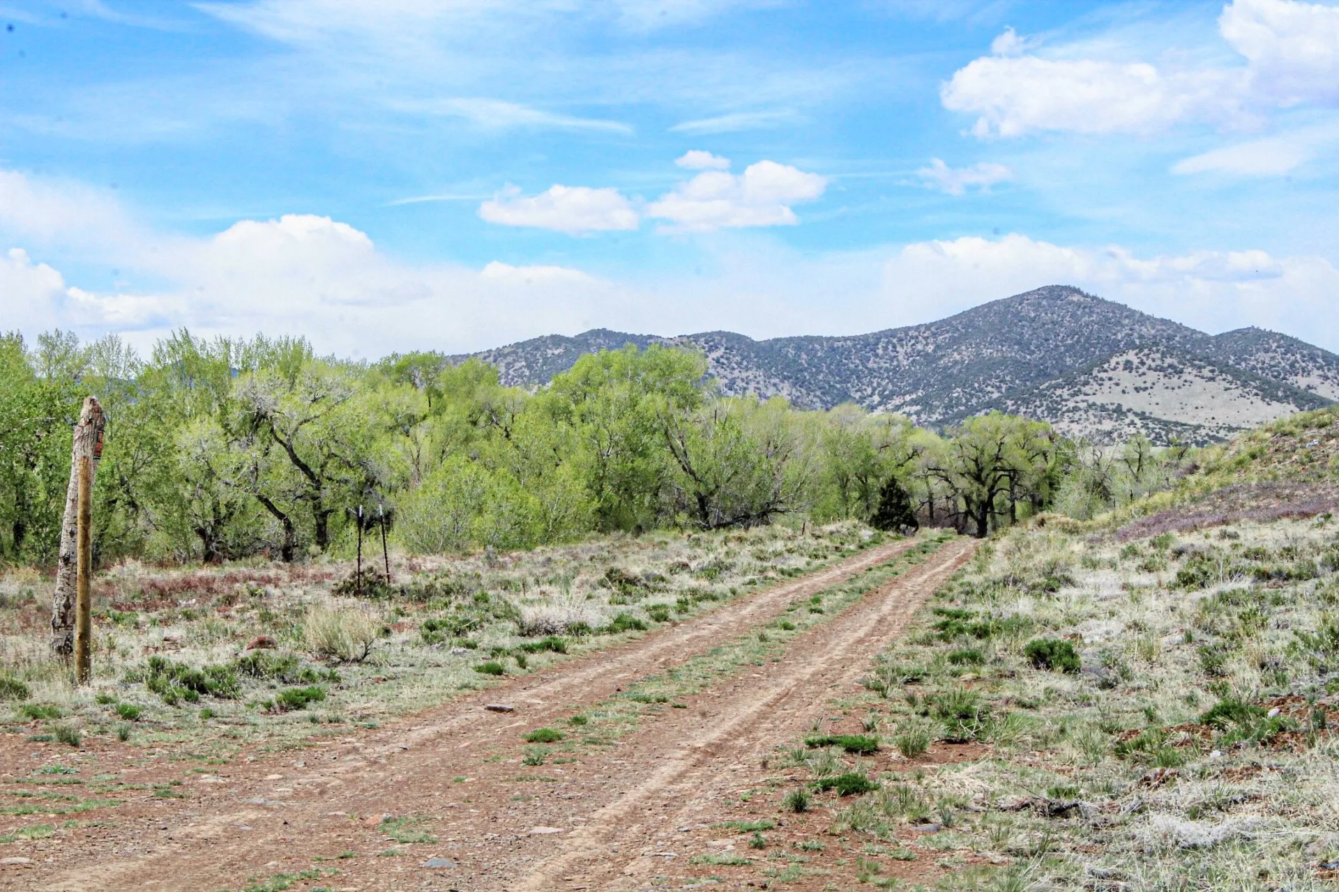
Check the parcel’s position within that east-west terrain, along with legal access, road maintenance, seasonal conditions, and the ownership of nearby land. Fishing, river access, trail use, and travel across public or private land require separate verification of lawful entry, boundaries, licenses, seasons, closures, and agency rules.
One parcel-view verification checklist
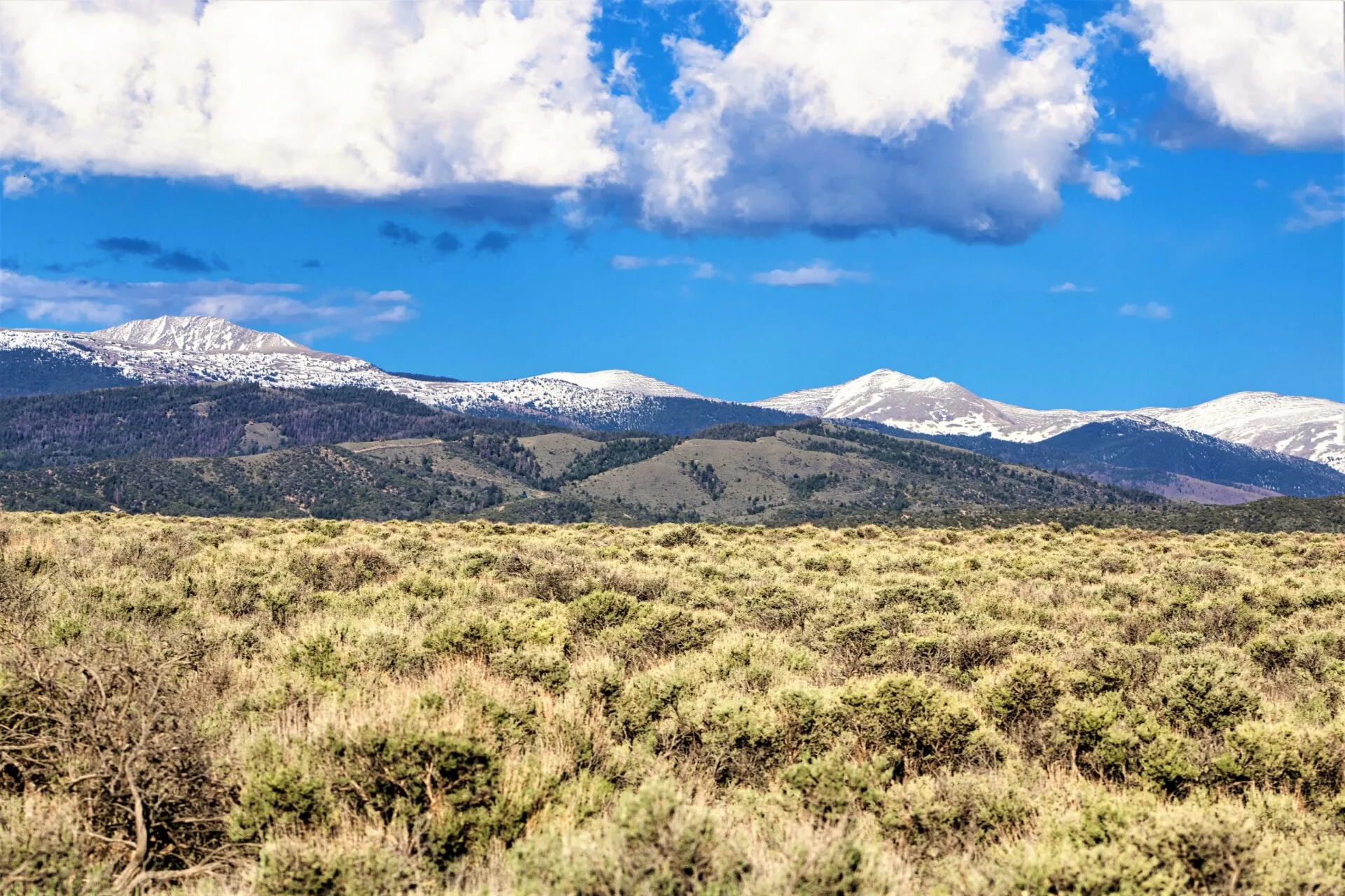
- Locate the sightline: identify the exact direction, foreground, ridgelines, and likely building area; do not substitute a listing photo taken elsewhere on the tract.
- Confirm access: review title, deed, plat, and recorded easements, then inspect road surface, drainage, gates, seasonal conditions, and maintenance responsibility.
- Locate boundaries: use an appropriate survey and compare it with current public ownership maps. A map pin or visible road is not proof of a boundary or legal access.
- Check development feasibility: verify zoning, setbacks, water, wastewater, utilities, soils, drainage, flood and wildfire information, permits, and construction constraints with current local authorities and qualified professionals.
- Consider change: unless a recorded right or restriction provides otherwise, vegetation and lawful development on other property may alter a view.
A scenic setting does not establish buildability, permitted use, year-round access, or economical development. Keep the view evaluation separate from legal, title, survey, utility, hazard, and construction review. For the broader parcel-purchase sequence, see our San Luis Valley land-buying guide.
See our mountain land for sale in Colorado and Washington.
Official resources
- National Park Service: Sangre de Cristo National Heritage Area
- National Park Service: Great Sand Dunes nearby attractions and county context
- Conejos County: official county geography and departments
Use these sources for regional orientation, then confirm the individual parcel through current county records, recorded documents, an appropriate survey, a lawful site visit, and qualified advice.