A ranchette is an informal real-estate label for a rural or semi-rural property that is generally smaller than a property marketed as a ranch. It is not a nationwide legal classification, and no universal law fixes a ranchette at 1–10 acres or any other acreage. The recorded acreage, governing land-use rules, title documents, and site conditions—not the label—determine what a buyer owns and may be able to do.
A ranch is usually marketed as larger and more oriented toward agricultural or livestock operations; a ranchette is often marketed as a smaller rural residence with room for limited animals, gardens, recreation, or outbuildings. Those are practical listing distinctions, not guaranteed legal rights or fixed size thresholds.
Ranchette vs ranch at a glance
| Question | Ranchette | Ranch |
|---|---|---|
| Acreage | No universal legal range; commonly marketed as the smaller option. | Often marketed as larger, but no single listing-size threshold applies everywhere. |
| Typical emphasis | Rural residence, limited animals, garden, recreation, or small-scale projects. | More extensive livestock, crop, grazing, or land-management operations. |
| What the label proves | Nothing about permitted use, legal access, water, septic, utilities, taxes, or buildability. | Nothing about agricultural approval, stocking capacity, legal access, water, taxes, or operating feasibility. |
| Best comparison | Surveyed acreage, usable area, title, access, local rules, covenants, water, wastewater, utilities, soils, hazards, improvements, and total cost. | |
Defining What You Need in a Ranchette
The right parcel depends on your plans and on what local rules and site conditions allow. Start with the amount of usable space you need, then verify access, services, restrictions, and ongoing maintenance obligations.
Do not assume that acreage alone makes a property suitable for livestock, crops, or a home. Soil, water rights, well and septic feasibility, setbacks, terrain, zoning, and covenants can all affect what is possible.
Compare Ranchette Locations
The state guides below are starting points for state-specific buying and due-diligence research; they are not listing inventories or parcel-level verification. Climate, taxes, land-use rules, water, soils, and property restrictions vary within every state, so evaluate the specific parcel and jurisdiction rather than relying on statewide generalizations.
Texas
Review each Texas listing individually and verify county or municipal land-use requirements, deed restrictions, legal access, utilities, water, wastewater, taxes, and any agricultural use requirements before purchase.
Colorado
For Colorado land, verify county zoning, recorded covenants, access, water rights, well and septic requirements, utilities, wildfire exposure, terrain, and the permits needed for your plans.
Washington State
For Washington land, verify local zoning, critical-area or shoreline rules where applicable, recorded restrictions, access, water and wastewater options, utilities, and permits for the intended use.
Tennessee
For Tennessee land, verify county and municipal requirements, deed restrictions, legal access, utilities, water and septic feasibility, flood risk, soils, and permits for the intended use.
Use these state guides to identify location-specific research questions, then complete parcel-specific due diligence before making an offer.
Features to Verify
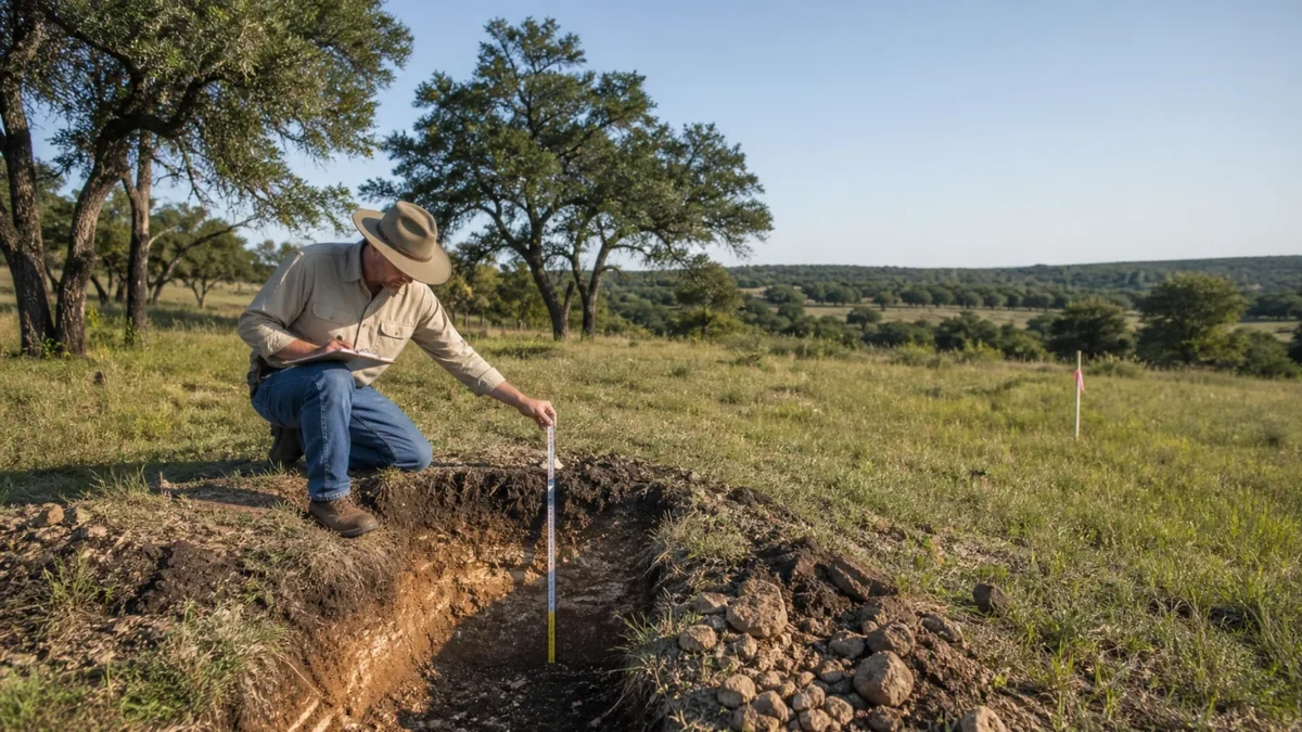
Beyond size and location, confirm that the parcel can support the intended use. The USDA NRCS Web Soil Survey is a useful planning source for mapped soil information, but NRCS notes that onsite investigation is needed for some applications. Verify the legal availability, quality, quantity, and cost of water rather than assuming a well or other source is permitted or adequate.
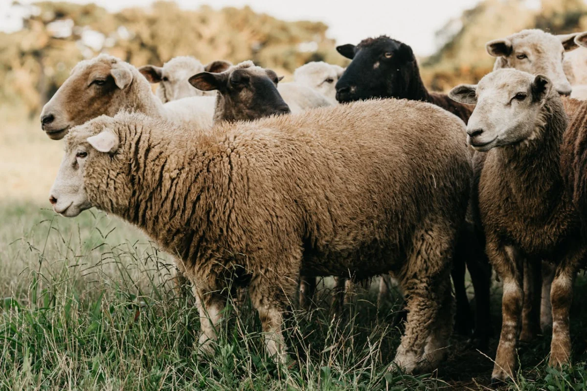
If you plan to keep animals or add fencing, shelter, a barn, or another outbuilding, confirm zoning, covenants, setbacks, permits, and site conditions first.
If an existing or planned dwelling is part of your intended use, verify that it is lawful and feasible for the parcel, and evaluate its condition, access, utilities, water, wastewater, setbacks, and permit requirements. Use the FEMA Flood Map Service Center for official NFIP flood-hazard products, and review EPA septic-system resources before confirming the actual onsite-wastewater authority and permit process for the parcel.
How Is a Ranchette Different From a Ranch?
Ranchette is an informal label often used for a smaller rural or semi-rural property. It has no universal acreage range and does not establish that agricultural or residential uses are allowed.
Size: Properties marketed as ranches are often larger than those marketed as ranchettes, but listing terminology varies. Compare the surveyed acreage, usable area, and maintenance needs of the specific parcel.
Intended Use: A marketing label does not determine permitted use. Confirm agricultural, livestock, residential, and accessory uses with the governing jurisdiction and review recorded covenants or easements.
Location: Evaluate actual travel times, road conditions, legal access, emergency services, utilities, and proximity to the amenities you need. Do not rely on a rural or semi-rural label.
Cost: Price depends on location, acreage, access, improvements, utilities, water, restrictions, market conditions, and other parcel-specific factors. Compare total acquisition and development costs, not just the asking price.
Zoning Laws and Land Restrictions
County or municipal zoning, other applicable regulations, permits, recorded covenants, and easements may each affect how a parcel can be used or improved. Their requirements and legal effects vary by jurisdiction and document.
Review current land-use rules with the governing authority. Separately review title and recorded documents for restrictive covenants, access or utility easements, conservation easements, and other rights or burdens. Do not treat an easement as a covenant or assume that one record answers every use question.
Buying Tips for a Ranchette
Compare listings from multiple sources and evaluate the complete terms of each opportunity. Before committing, review title, survey, legal access, taxes, liens, easements, covenants, zoning, utilities, water, wastewater, environmental and natural-hazard information, and estimated development costs. The USGS National Map can help screen topography and nationally available base layers, but it does not replace a survey, title work, local records, or field inspection. Use qualified local professionals where appropriate. For use-specific planning after the definition question, see ranchette income ideas and planning checks and how to choose homestead land.
Elegment Land offers rural land listings for buyers to review. Property availability, features, restrictions, and suitability vary by parcel; review the listing details and complete independent due diligence before purchase.
Can a ranchette earn income?
Some owners lease pasture, keep a few animals or grow crops on a ranchette, but none of these is passive income or a sure thing. Treat each idea as a plan to test: confirm the zoning and deed restrictions allow it, check water, soil and fencing, size any livestock to what the land can carry, and put any grazing lease in a written contract. Start small and expand only after the first season works.
See our ranch land for sale, from small Texas ranchettes to larger tracts.